Storm Reaches Carmel on Wednesday, With the Beach Closed and High Surf Due Back at 4 p.m.
The front the forecast has tracked since Monday reaches the north Central Coast late this morning, and Carmel goes through its main storm day with the city beach closed. A Wind Advisory runs until 1 p.m. with south winds of 20 to 30 mph and gusts up to 50 mph, a Beach Hazards Statement holds through the afternoon at breaking waves of 13 to 17 feet, and a High Surf Advisory follows from 4 p.m. today to 4 p.m. Thursday at 15 to 18 feet. A county health advisory keeps swimmers, surfers and waders out of the ocean for 72 hours after the last rainfall, and a Flash Flood Watch covers the Timber and Plaskett burn areas on the Big Sur coast through late tonight.
The waiting ended on Wednesday morning. In the short term section of its forecast discussion, issued on Tuesday night and carried in the discussion updated at 4:08 a.m. today, the National Weather Service office in San Francisco puts the cold front through the north Central Coast between late 10 a.m. and 2 p.m., with light to moderate rain along the coastal ranges ahead of the boundary and a potential for isolated thunderstorms along the front itself. The Weather Channel listing for Carmel on Wednesday morning had the village cloudy at 57 degrees, with a south breeze of 23 miles per hour, humidity of 71 percent, and a high of 62 and a low of 54 for the day. Its key messages for the system have not changed since Tuesday night: a windy day, rain that turns heavy in spells, a thunderstorm risk today and again on Thursday, dangerous surf at the beaches into early Friday, and temperatures below seasonal norms for the rest of the forecast.
The wind arrives with the front. An urgent weather message timed 3:18 a.m. on Wednesday keeps a Wind Advisory in effect until 1 p.m. this afternoon for the Southern Monterey Bay and Big Sur Coast among its zones, with south winds of 20 to 30 mph and gusts up to 50 mph expected. Its impact list is the practical one for a village of trees and narrow streets: gusty winds will blow unsecured objects around, tree limbs could come down, a few power outages may result, and driving will be difficult for high profile vehicles. The aviation section of the discussion, issued at 4:08 a.m., expects the Monterey Bay terminals to sit in deteriorating ceilings and visibilities up to frontal passage in the afternoon, with southeasterly winds gusting to 35 knots and at times beyond that, and heavy rain in advance of the front, then showers persisting through tonight.
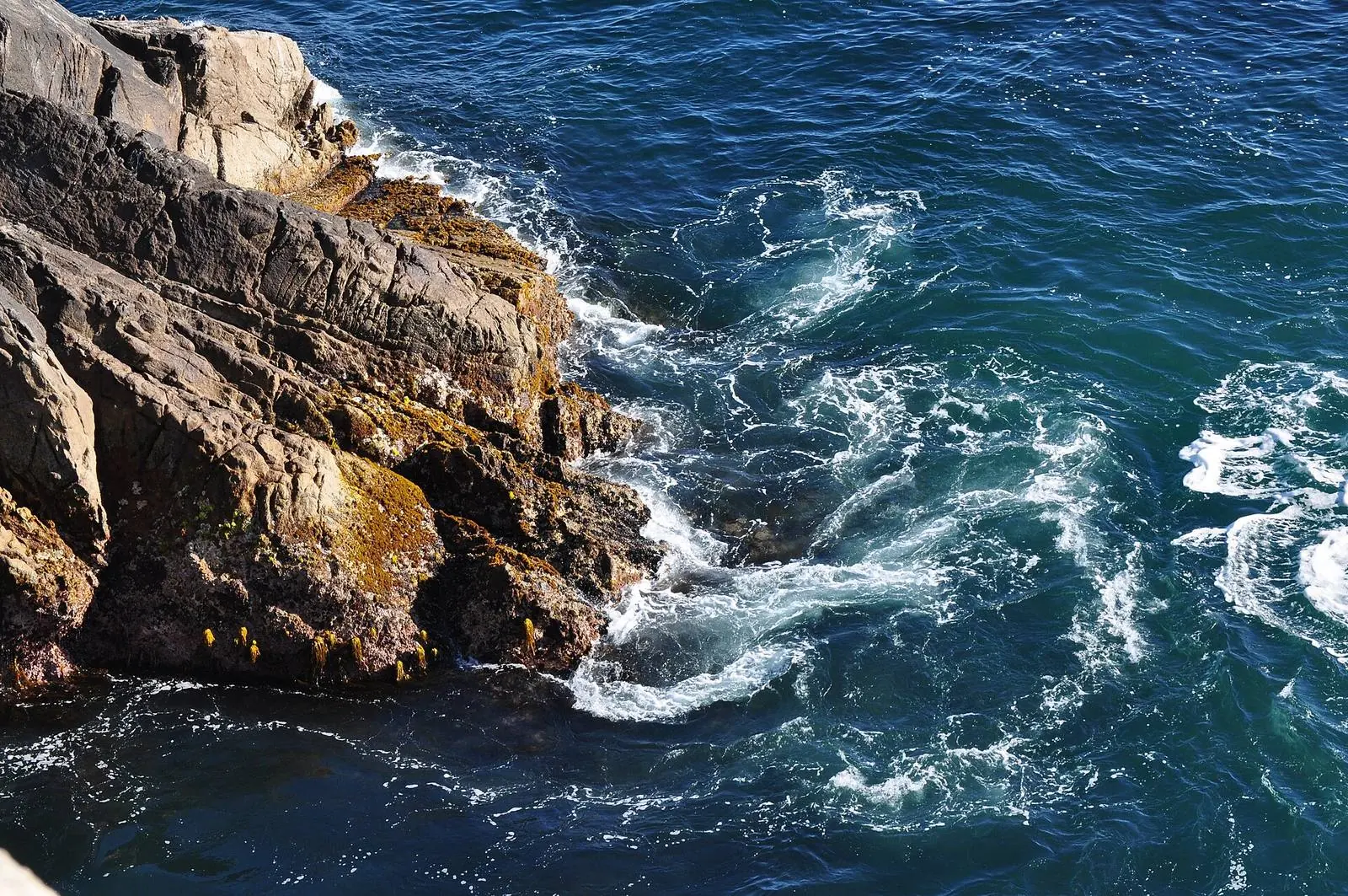
Carmel Beach itself is closed for this storm. In an official graphic posted on Monday afternoon, the City of Carmel-by-the-Sea put the words Carmel Beach CLOSED under a high surf warning heading, ahead of the hazard window that runs from today through Friday, November 20, and told readers that their safety is the city priority and should be theirs too. A second city graphic, posted on Tuesday afternoon, carries a Monterey County Health Department water contact advisory for county beaches: stay out of the ocean, because rain washes bacteria and runoff into the water at all county beaches, with swimming, surfing and wading all marked as out, for 72 hours after the last rainfall. With rain in the forecast through Thursday and showers lingering into early Friday, that clock does not start until the rain finally stops. California State Parks listed Carmel River State Beach as open with restrictions in services and facilities on Wednesday morning, with park hours of 8 a.m. to sunset.
The shoreline alerts change hands at 4 p.m. In a coastal hazard message timed 3:25 a.m. on Wednesday, the weather service keeps a Beach Hazards Statement in effect through this afternoon for the Southern Monterey Bay and Big Sur Coast, with an increased risk for sneaker waves and strong rip currents and breaking waves of 13 to 17 feet, and keeps a High Surf Advisory in effect from 4 p.m. this afternoon to 4 p.m. on Thursday, with large breaking waves of 15 to 18 feet. Both alerts cover all Pacific Coast beaches. The message says large breaking waves can overpower swimmers and pull people into the sea from beaches, jetties and rocks, raising the risk of drowning, and that waves can sweep across the shoreline without warning; its instructions are to remain out of the water, stay off jetties, piers, rocks and other waterside infrastructure, and never turn your back on the ocean.
The surf zone forecast issued at 4:35 a.m. on Wednesday gives the Monterey Bay and Big Sur zone its own daytime numbers, and they are not the same measure as the hazard message breakers: surf of 6 to 10 feet today, water near 59 degrees, southwest wind of 28 mph, cloudy skies with rain and showers, a slight chance of thunderstorms, and tides of 4.4 feet at 5:57 a.m., a low of 2.4 feet at 11:57 a.m. and a high of 3.7 feet at 5:02 p.m. On Thursday the zone turns to 11 to 15 feet on west facing beaches and 6 to 9 feet on south facing ones, with northwest wind of 28 mph and a high tide of 4.8 feet at 6:20 a.m. The beaches section of the forecast discussion, issued at 3:00 a.m., puts the current waves plainly in context: they are less energetic than the ones seen on Saturday, which flooded portions of Pacifica and damaged Capitola Pier, but they remain hazardous, could still knock unaware people into the water, and keep the risk of drowning high.
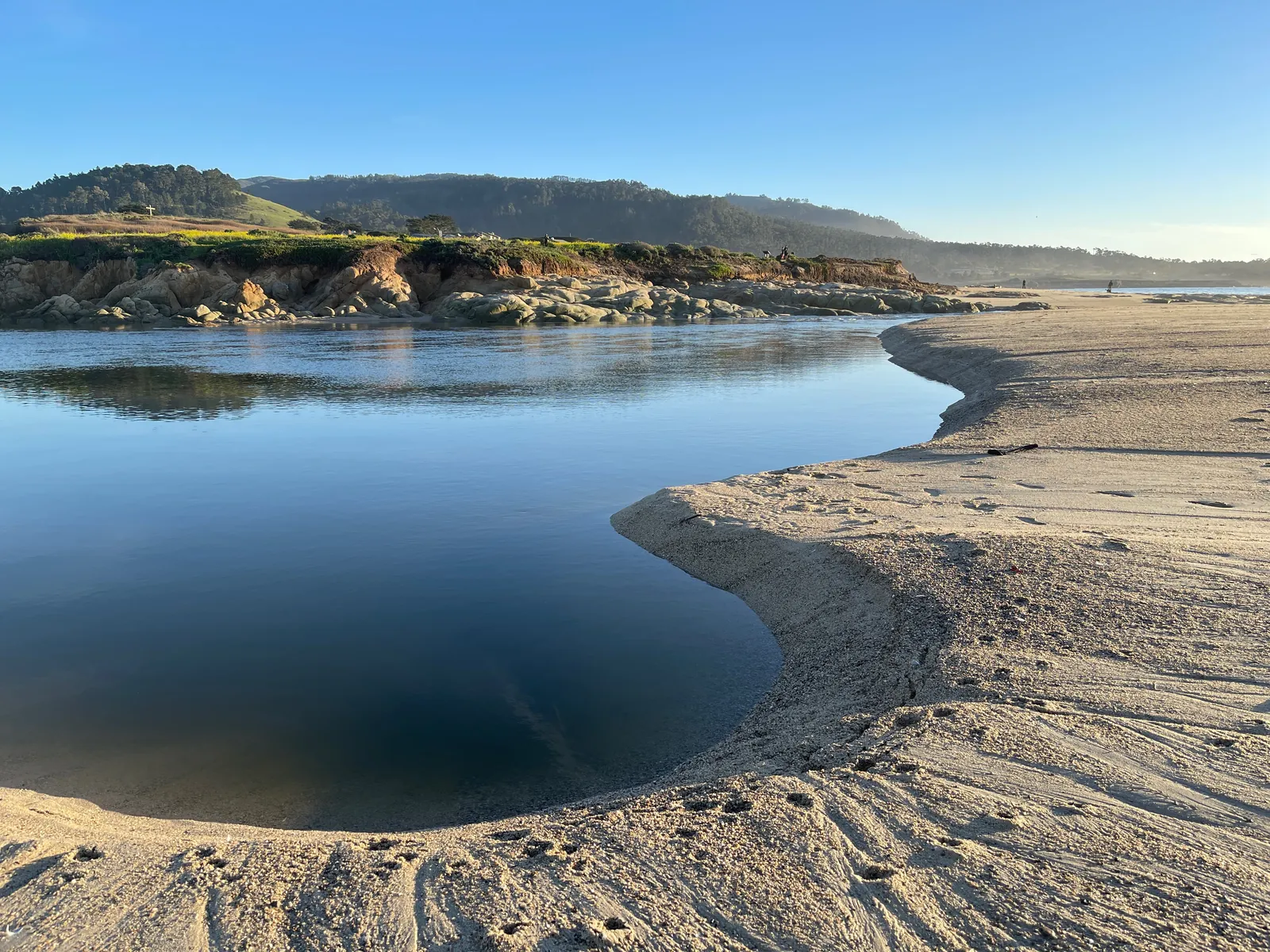
The rain is the other half of the day. From now through Friday morning, the discussion expects 1 to 2 inches in the rain shadowed valleys, 1.5 to 2.5 inches across the rest of the Bay Area and Central Coast, and 3 to 5 inches in the Santa Cruz Mountains and the Santa Lucia Range. The Weather Channel daily listing for Carmel itself puts 2.13 inches on today, with rain and wind through the day, and a further 0.72 inches on Thursday with thunderstorms and a high of 58 and a low of 51. On the water, the discussion marine section expects the front to sweep the coastal waters today with moderate to heavy rain and strong winds, a few storm force gusts possible with frontal passage, and more rain tonight into Thursday; its advisory summary keeps a Gale Warning on Monterey Bay until 3 p.m. this afternoon and on the waters from Point Pinos to Point Piedras Blancas until 8 p.m. this evening.
South of Carmel, the heaviest rain carries a ground risk as well as a surf risk. A flood watch issued at 4:46 a.m. on Wednesday keeps a Flash Flood Watch in effect through late tonight for the Timber and Plaskett burn areas, where flash flooding and debris flows caused by excessive rainfall are possible. For the Timber scar, the watch covers portions of Highway 1 and the Los Padres National Forest from Andrew Molera State Park to Partington Ridge, including the town of Big Sur, with potential debris flow through the drainages in Lafler, Castro and Graves Canyons and the drainages between Grimes and Castro Canyons. For the Plaskett scar, it covers areas near Highway 1 mile marker 17 to mile marker 11, including Los Burros Road, with potential debris flow through Alder, Plaskett and Prewitt Creeks. Big Sur, Plaskett and Pfeiffer Big Sur State Park are among the locations the watch lists as ones that may experience flash flooding.
The storm does not end at frontal passage. Post frontal rain showers and isolated thunderstorms persist tonight and into Thursday morning as a colder air mass and a surface low move into the region, and the discussion expects the thunderstorm potential to increase on Thursday morning as the low approaches the Bay Area or Central Coast. Showers and the thunderstorm chance then diminish by Thursday afternoon and evening, with showers still hanging over the ocean and the inland areas next to it into the early hours of Friday. Another cold front approaches on Saturday, and the discussion expects its rainfall through Sunday to be significantly less than this system, while the pattern stays unsettled and cooler than normal.
We correct errors promptly and note them here. Send corrections through the contact form on our contact page.