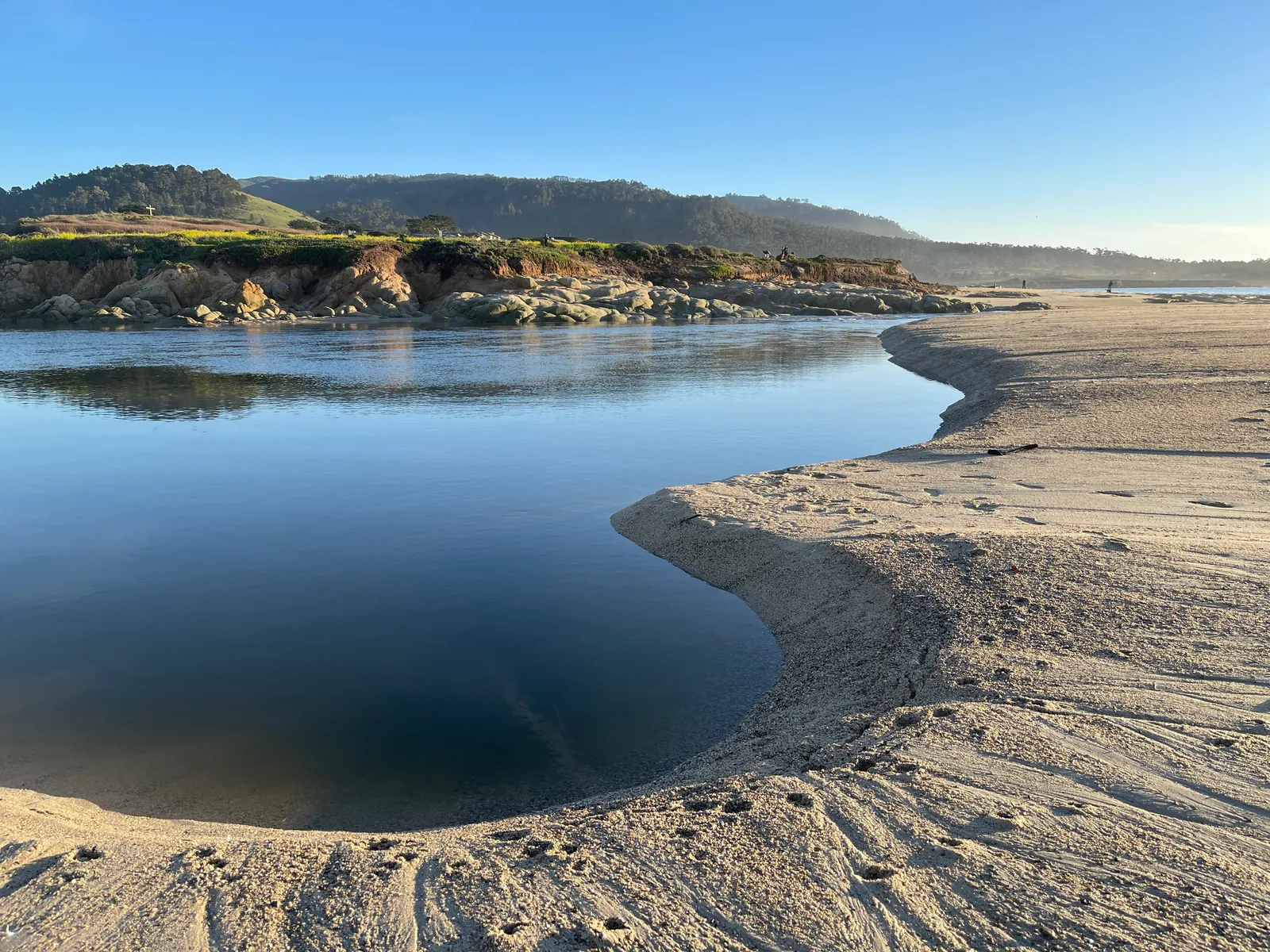
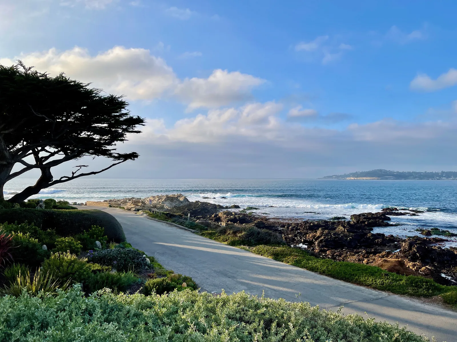
Midweek Storm Sharpens for Carmel, With a Wind Advisory Possible and Excessive Rain Rated a Slight Risk
Monday rain clears the Central Coast by early afternoon and a cold trough follows tonight, before a stronger front arrives late on Tuesday. The San Francisco weather office says strong southerly winds ahead of that front may require a Wind Advisory from late Tuesday night through Wednesday, thunderstorm chances rise on Wednesday evening into Thursday with strong gusts as the main concern, and the Weather Prediction Center keeps a Slight Risk of excessive rainfall for central coastal California on Wednesday even as its atmospheric river trends weaker, with areal averages of 1 to 2 inches and local totals of 3 to 4 inches falling mostly within 3 to 6 hours. The high surf advisory runs until 4 a.m. on Tuesday and Carmel River State Beach was still listed closed on Monday morning.
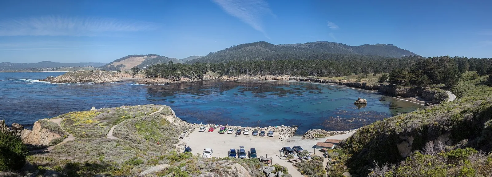
Monday is the clearing day between systems, and it starts wet. In its forecast discussion issued at 12:25 a.m. on Monday, the National Weather Service office in San Francisco says rain continues across the region and is moving south into the Central Coast, the bulk of it clearing out by early afternoon, with stray showers lingering behind the front for the rest of the day. At the Monterey Bay terminals, the aviation section of the same discussion, issued at 4:14 a.m., expects light showers that briefly turn to moderate downpours through the morning; onshore winds near 10 knots pick up this afternoon and turn offshore by the evening. The Weather Channel listing for Carmel on Monday morning put the village in rain at 53 degrees, with an east north east breeze of 6 miles per hour, humidity of 90 percent, and a high of 58 and a low of 48 for the day. Highs today sit 5 to 10 degrees under seasonal norms, and the discussion expects cooler than normal readings to remain the pattern all week.
A cold night follows the clearing. Tonight into early Tuesday morning, a sharpening trough brings the coldest air of the sequence overhead, and surface readings drop about 5 degrees under seasonal norms, with the chill most pronounced at higher elevations. The office is holding off on a Cold Weather Advisory for now, because only limited spots in the low lying valleys are expected to reach 36 degrees or lower.
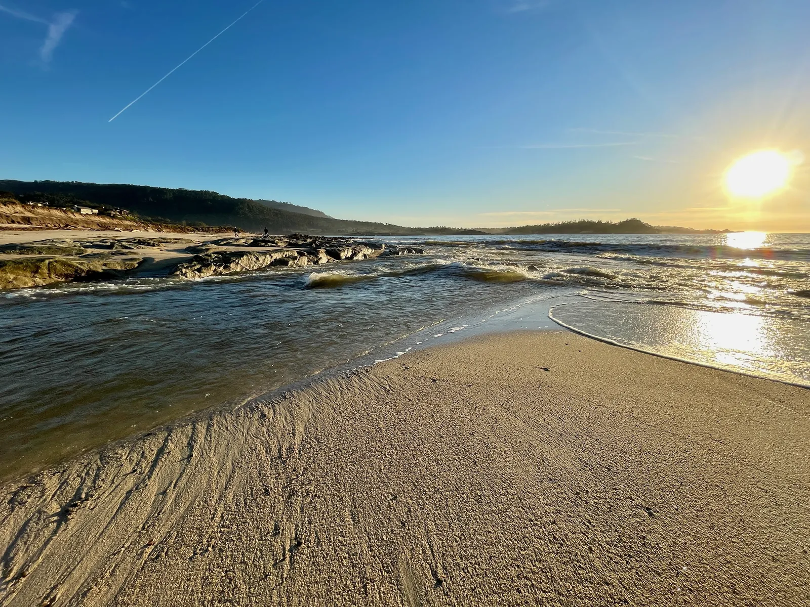
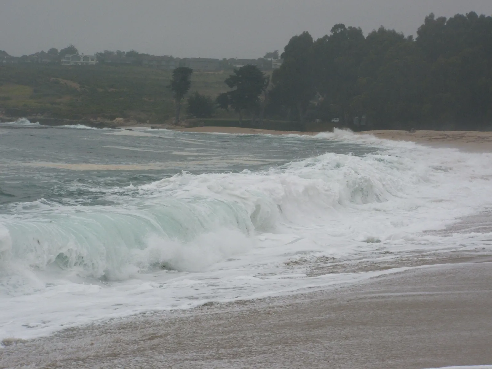
The ocean stays hazardous while the rain pauses. A coastal hazard message timed 4:51 a.m. on Monday keeps the high surf advisory in effect until 4 a.m. on Tuesday for the Southern Monterey Bay and Big Sur Coast, with large breaking waves of 20 to 25 feet and occasional sets of 25 to 35 feet at favored breakpoints, and its instruction is that swimmers should remain out of the water. The beaches section of the discussion records long period swells, 12 to 16 feet with periods of 14 to 16 seconds, still rolling through the coastal waters. Saturday's waves, which flooded parts of Pacifica and damaged Capitola Pier, carried more energy than these, but the current set can still sweep an unwary beachgoer off the rocks, rip current risk stays elevated, and the risk of drowning remains high. The surf zone forecast issued at 4:35 a.m. on Monday gives the Monterey Bay and Big Sur zone itself surf of 11 to 15 feet on west facing beaches and 3 to 6 feet on south facing beaches today, water near 59 degrees, and a high tide of 4.1 feet at 2:21 p.m.; on Tuesday the zone turns to 9 to 13 feet on northwest facing beaches and 4 to 7 feet on south facing ones. California State Parks still listed Carmel River State Beach as closed on Monday morning. On the water, northwest winds, moderate to fresh, hold through Tuesday morning and keep seas very rough to high, reaching 20 feet; the seas ease a little on Tuesday afternoon, then build again by Wednesday, when conditions turn hazardous once more, with gusts near gale to gale force, rain, and possible thunderstorms.
Tuesday brings a mostly dry day. A few showers roaming the coastal waters may drift ashore during the morning. Late in the afternoon and into the evening the next cold front reaches the North Bay first, then works its way south. Ahead of the front, southerly winds strengthen enough that the office may post a Wind Advisory covering late Tuesday night and Wednesday. From Wednesday evening into Thursday the chance of thunderstorms climbs, and strong gusts are the main worry: winds of 40 to 50 knots at the 850 hectopascal level could reach the surface where storms form. The office notes that the Weather Prediction Center has flagged much of the region for a slight chance of excessive rainfall spanning Wednesday into early Thursday, easing to a marginal chance later on Thursday, after 4 a.m., with the heaviest showers and rain rates tied to whatever convection develops, and instability peaking late Wednesday night into early Thursday morning, when lapse rates increase to around 7 degrees Celsius per kilometer.
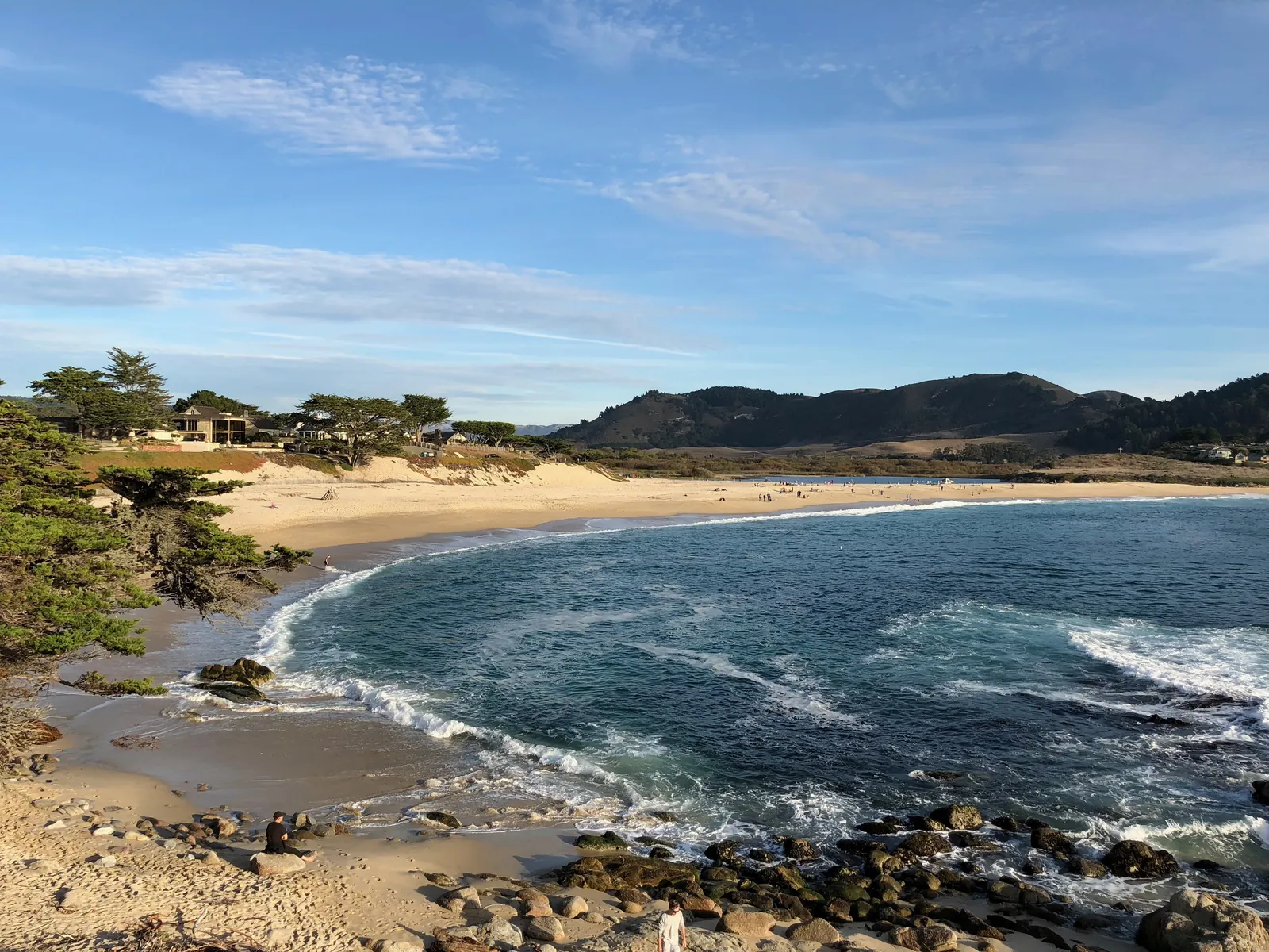
The Weather Prediction Center's own excessive rainfall discussion, issued at 3:32 a.m. Eastern time on Monday, carries a Slight Risk of excessive rainfall for central coastal California on its Day 3 period, valid from 12Z on Wednesday to 12Z on Thursday. The center says the atmospheric river arriving with the front has trended weaker in this forecast cycle, shifting back towards a weak river compared to a moderate one, while its integrated vapor transport values are still expected to peak between 500 and 750 kilograms per meter per second. Its areal average rainfall sits in the 1 to 2 inch range, with locally higher amounts of 3 to 4 inches, and most of it is expected to arrive inside a 3 to 6 hour window; the best odds of the heavier amounts sit over the central Coastal Ranges and up into the Bay Area, where the Slight Risk carried over from earlier cycles stays in place. Readers comparing Monday's numbers with the totals in Sunday's discussion should note that the two products measure different things: the Sunday discussion carried the San Francisco office's storm total forecast of 2 to 3 inches across much of the Bay Area and Central Coast, with 3 to 5 inches in the coastal ranges, while the Monday center figures are a Wednesday areal average. The direction is nevertheless downward, on the center's own wording that the river has trended weaker. The Weather Channel ten day listing for Carmel is consistent with the lower range for the village itself: it puts Wednesday at heavy rain and wind, with 1.46 inches in the day and 0.43 inches at night, and Thursday at thunderstorms with 0.44 inches.
Rain behind the front lingers through much of Thursday while the trough moves east, then eases away during Friday. Beyond that, the discussion only notes that another system is lined up to bring rain by next weekend, starting on Saturday, and leaves its details for later cycles.
We correct errors promptly and note them here. Send corrections through the contact form on our contact page.