Second Storm Reaches Carmel Tonight, With Rain Lingering Into Monday and a Stronger System Due Midweek
The second front in the current series crawls south on Sunday and reaches the Monterey Bay region during the evening, with light rain showers arriving at Monterey area terminals between 7 and 10 p.m. and steady rain that could linger into the Monday morning commute. Forecast totals for the northern Central Coast run from a quarter of an inch to half an inch, winds stay well below Friday's gusts, and the discussion then looks to a slower, wetter system from late Tuesday through Thursday, with 2 to 3 inches of rain across much of the Central Coast and a rising flood concern as the ground soaks through.
Sunday is the changeover day. In its forecast discussion issued at 4:12 a.m. on Sunday, the National Weather Service office in San Francisco lists three key messages for the days ahead: rain arrives today through Monday, high surf conditions continue through Tuesday morning, and an impactful system arrives Wednesday through Thursday. High clouds streaming over the Central Coast on Sunday morning are the front edge of the second system, a frontal band of rain tied to a low off the coast of British Columbia.
The front moves on a north to south clock. It enters the North Bay later this morning, comes into the San Francisco Bay Area during the afternoon, and reaches the South Bay and Monterey Bay regions during the evening, according to the discussion. The aviation section of the same discussion puts the first light rain showers at the Monterey Bay terminals tonight between 7 and 10 p.m., persisting into Monday morning. The Weather Channel listing for Carmel is consistent with that timing: at the morning check it put Sunday at a high of 65 degrees and a low of 51, with no significant rain expected in the next 12 hours.
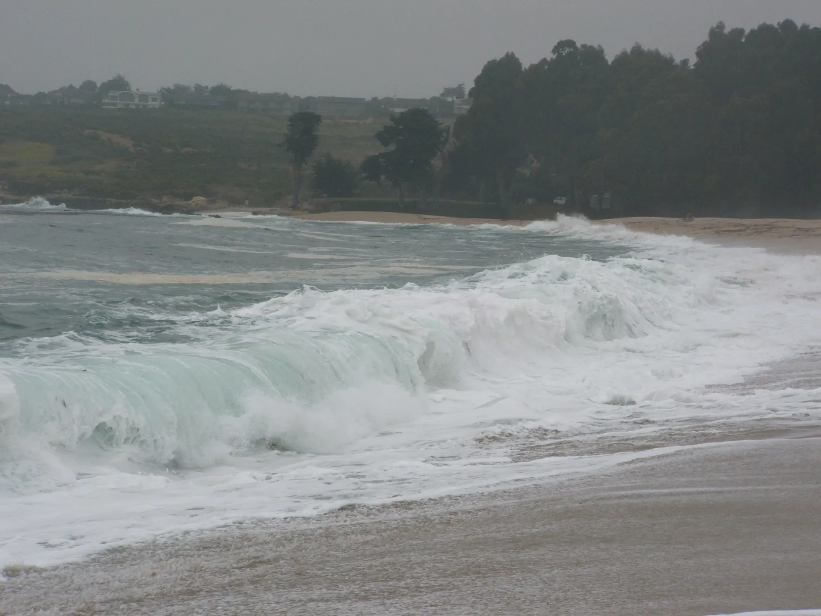
The discussion expects a period of steady if rather light rain, with an embedded narrow cold frontal rain band that brings a burst of more intense rainfall as it passes. Behind the front, the pattern slows down. The front decouples from its parent low, a new low forms over the Great Basin, and the models show the steady rainfall lingering late into the night, so that parts of the Central Coast could wake on Monday morning to find the rain still falling on the morning commute. The band of rain moves out of the interior Central Coast on Monday afternoon, with scattered post frontal showers possible along the coast behind it.
Rainfall totals from this system are modest next to what follows. The discussion puts the northern parts of the Central Coast in the quarter inch to half inch range, with a tenth to a quarter of an inch in the southern reaches of Monterey County. Winds flow from the south until the front passes and then switch to the northwest, and they will not match Friday's system: gusts of 20 to 30 miles per hour are possible along the coast, through favoured gaps and passes, and at the ridgelines. Highs today lie in the middle to upper 60s at the lower elevations of the Central Coast, cooling on Monday to the upper 50s and lower 60s.
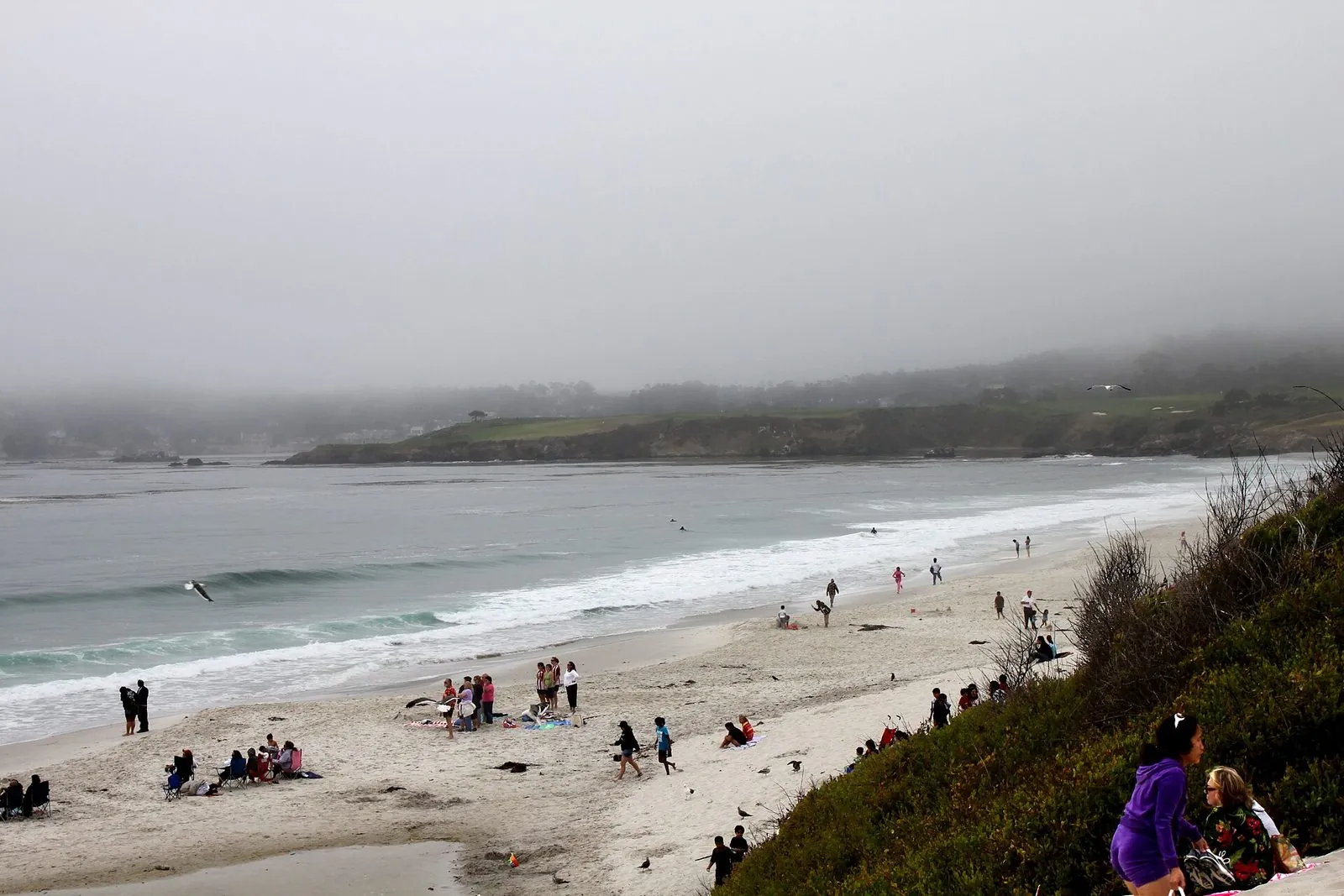
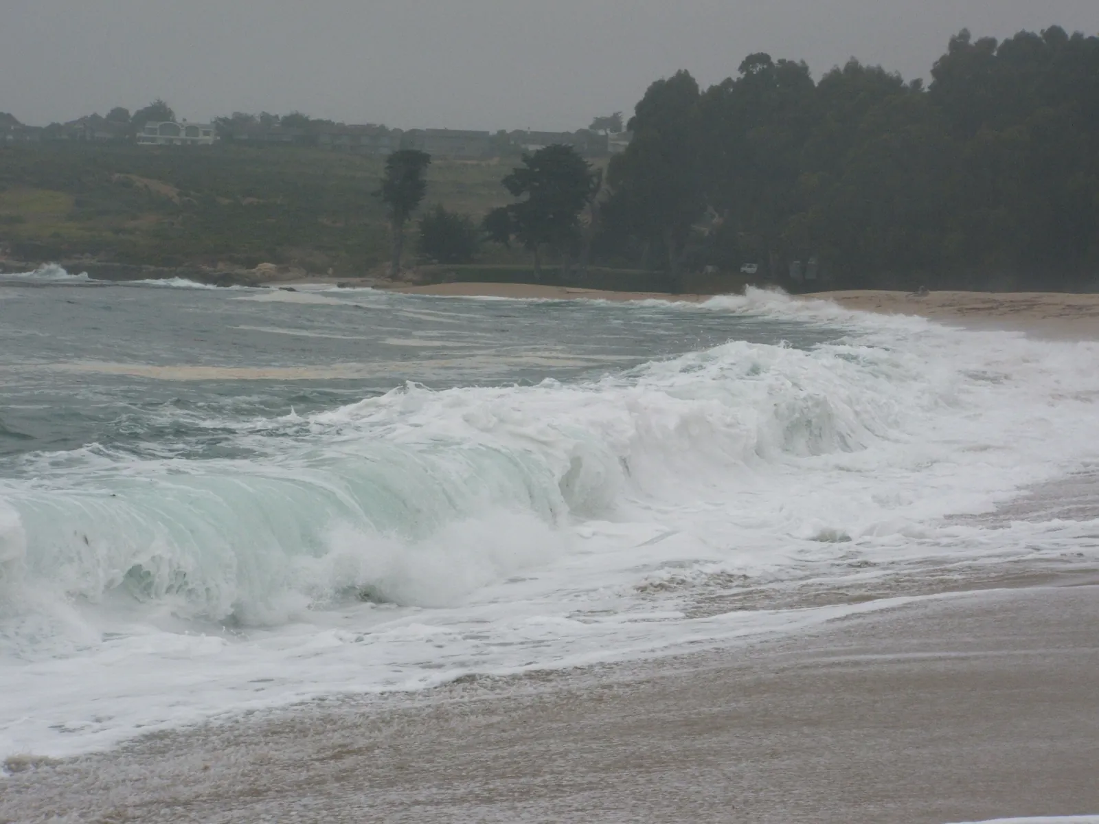
The ocean does not quiet down while the rain passes. The surf zone forecast issued at 4:35 a.m. on Sunday puts today's surf in the Monterey Bay and Big Sur zone at 9 to 13 feet on northwest facing beaches and 5 to 8 feet on south facing beaches, with a high tide of 4.5 feet at 1:12 p.m. and water near 59 degrees. On Monday the zone turns to 11 to 15 feet on west facing beaches and 3 to 6 feet on south facing ones. The discussion's beaches section records long period swells of 12 to 16 feet still coming through the coastal waters, and its marine section keeps very hazardous conditions and a small craft advisory on Monterey Bay until 7 p.m. on Monday, with significant wave heights of 15 to 20 feet through early Tuesday morning. On the shoreline itself, California State Parks still listed Carmel River State Beach as closed on Sunday morning; its closure notice, which ran from Friday afternoon to Sunday morning, says the closure could likely be extended through Tuesday.
A lull in the rainfall arrives Monday night into Tuesday, with a cold morning possible on Tuesday as inland valley lows drop into the middle 30s to lower 40s, cold enough that the discussion raises the possibility of frost or cold weather advisories. Then the third system comes in late on Tuesday and stays through Wednesday and Thursday, with a chance of lingering into early Friday, and the discussion calls it more impactful than the previous two. Its low is expected to slow as it approaches, so its rain band moves slower and totals build: much of the Bay Area and Central Coast is currently forecast to receive 2 to 3 inches, with 3 to 5 inches in the coastal ranges. A strong jet aloft supports wind gusts of 30 to 40 miles per hour at the valley floors and possible wind advisories, the chance of thunderstorms reaches 20 to 30 percent on Wednesday and Thursday, and flood concern increases as the earlier rain saturates the soil and creeks and streams rise toward their banks.
We correct errors promptly and note them here. Send corrections through the contact form on our contact page.