Surf Throws Rocks and Debris Across Scenic Road, Closing Seven Carmel Point Streets
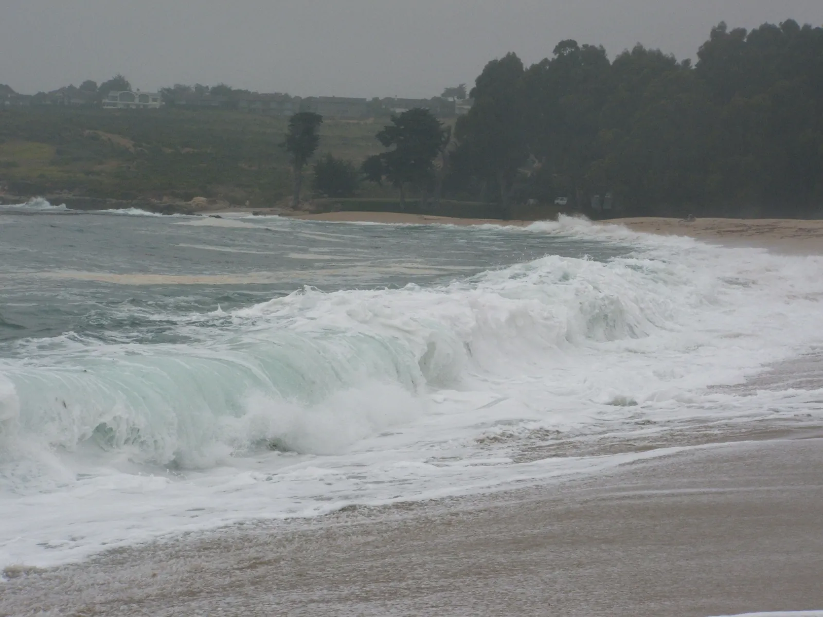
The Monterey County Sheriff's Office announced road closures on Saturday morning at six Scenic Road intersections and at Carmelo Street and 17th Avenue, after the peak of the weekend swell threw rocks, sand and debris across the Carmel Point roadway. Photographs published by the county Department of Emergency Management show rocks scattered over wet asphalt, a collapsed fence and a utility truck working in the debris, and the high surf advisory that succeeds the warning runs until 4 a.m. on Tuesday.
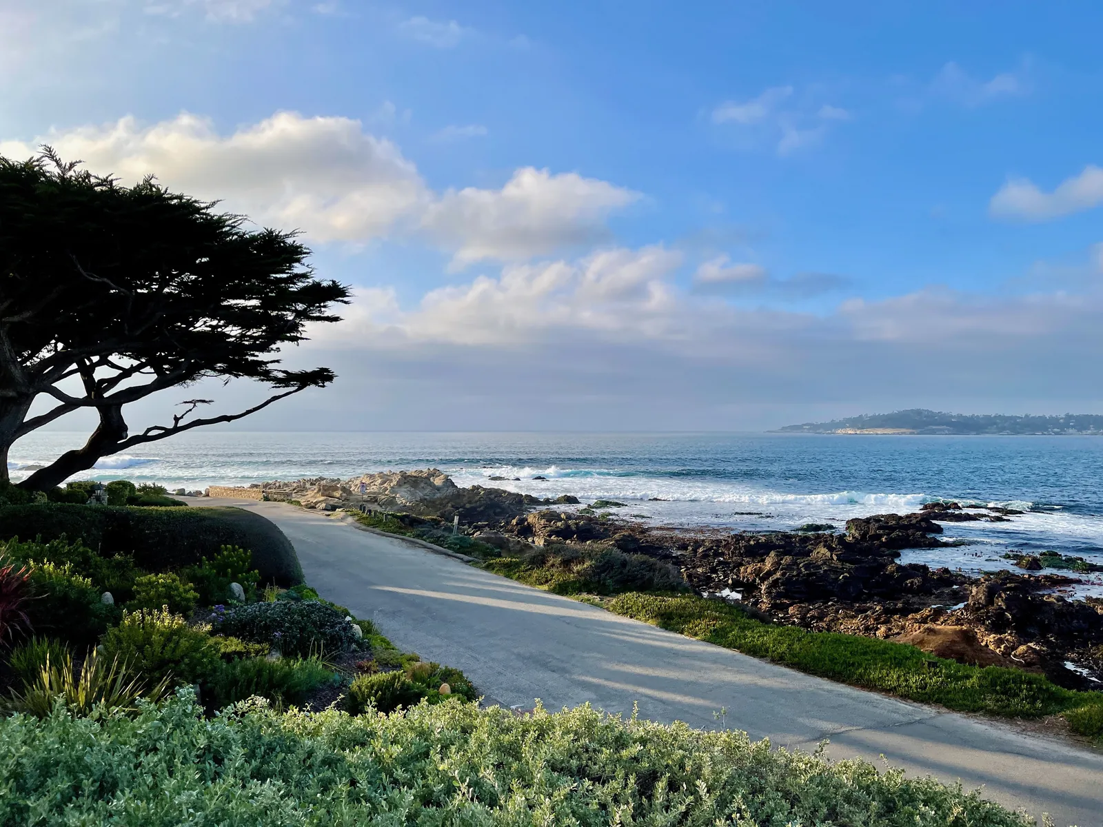
The damage from the weekend swell reached the road on Saturday morning. In a road closure announcement posted on Saturday, the Monterey County Sheriff's Office said Scenic Road was closed at Isabella Way, at Martin Way, at Ocean View Avenue, at Santa Lucia Avenue, at Stewart Way and at Valley View Avenue, and that Carmelo Street was closed at 17th Avenue. The seven closure points ring Carmel Point, where Scenic Road runs closest to the water on the south side of Carmel Bay.
Photographs published on Saturday by the Monterey County Department of Emergency Management show what the surf left behind. In the department's pictures, large rocks sit scattered across wet asphalt next to a damaged wooden picket fence, a fence has collapsed with timbers displaced, sand and debris cover the roadway, and a utility truck with its warning lights on is visible at the scene. A wider frame shows the debris covered road stretching along the coast with houses perched above the shoreline.
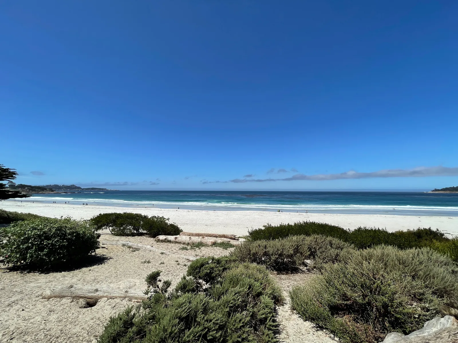
The closures came at the peak of the swell sequence this title has tracked all week. A coastal hazard message timed 12:29 a.m. on Sunday kept the high surf warning in effect until 4 a.m. this morning, with dangerously large breaking waves of 25 to 35 feet and occasional sets of 40 to 50 feet at favoured breakpoints, and the message that followed at 3:43 a.m. records the warning expiring at 4 a.m. In its place, a high surf advisory remains in effect until 4 a.m. on Tuesday, with large breaking waves of 20 to 25 feet and occasional sets of 25 to 35 feet at favoured breakpoints, on all Pacific coast beaches.
The hazard message's impact list reads like a description of Saturday morning at Carmel Point. It warns that high tides will bring flooding of low lying infrastructure, isolated road closures and coastal erosion, that rising water pushes waves farther up the beach than normal and restricts escape from beaches and coastal areas, and that the large breakers can overpower swimmers and pull people into the sea from beaches, jetties and rocks, with a risk of significant injury and drowning. Its safety instruction is that swimmers should remain out of the water.
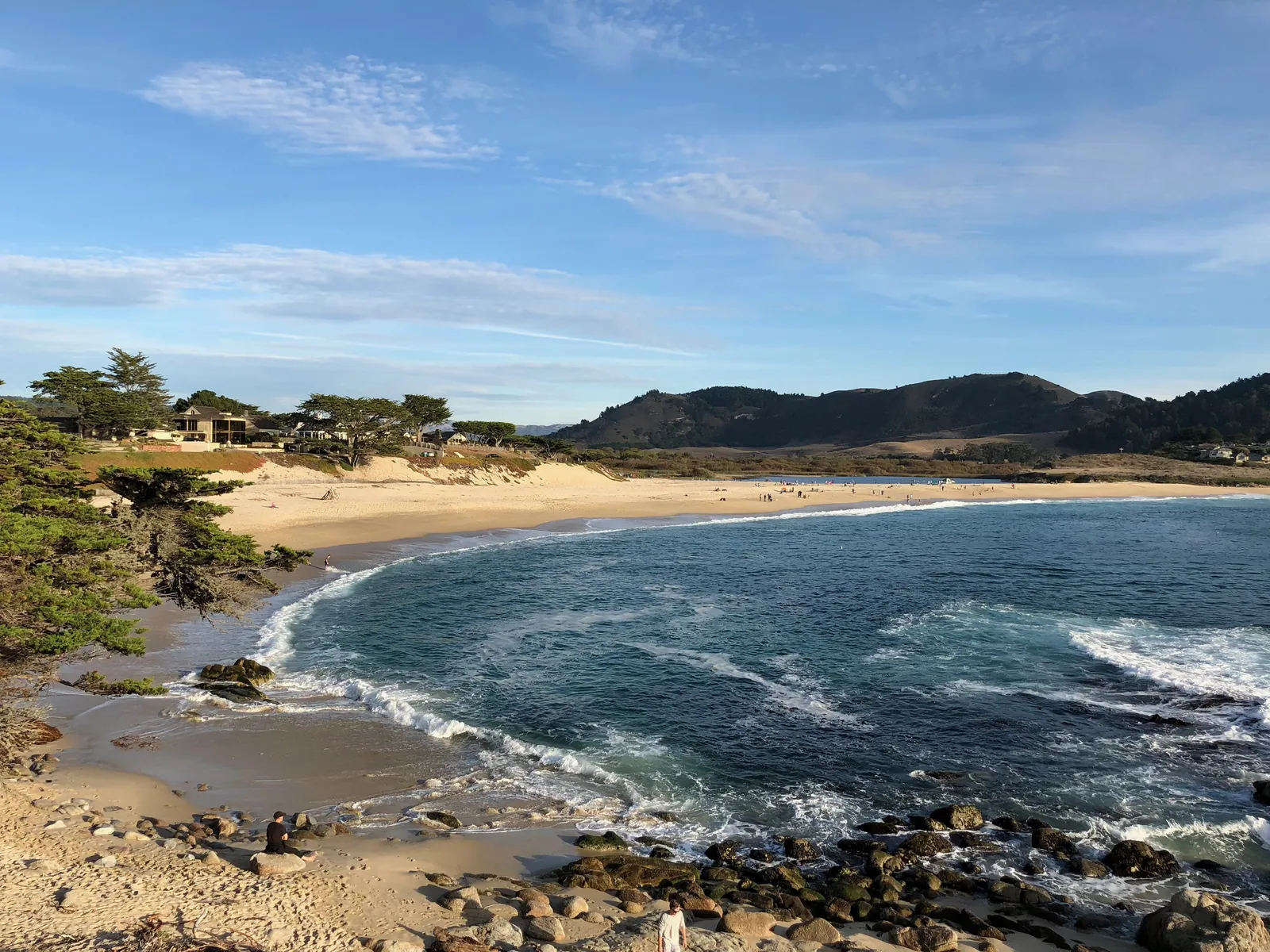
The county posts checked by this desk on Sunday morning carried no notice that the Carmel Point closures had been lifted, and the advisory now in force has two more days to run. Drivers should treat the Saturday closure points as the current map until the county says otherwise, and anyone heading for the shoreline should expect the same conditions that closed the road: waves that can cross the shoreline without warning, and water reaching ground that is normally dry.
We correct errors promptly and note them here. Send corrections through the contact form on our contact page.