Rain and Gale Gusts Reach Carmel on Friday, Hours Before the Big Surf Warning Takes Over
The first front in a series forecast to run through next week reached the Big Sur coast overnight, with showers already on radar before dawn. For Carmel, Friday brings the rain band in the afternoon, southerly gusts that could reach 50 miles per hour at the immediate coast, a gale warning on Monterey Bay until mid afternoon, and then, at 6 p.m., the handover from the beach hazards statement to the high surf warning that runs through early Sunday.
The waiting part of this storm is over. In its forecast discussion issued at 4:17 a.m. on Friday, the National Weather Service office in San Francisco said radar was already showing showers ahead of the front scattered along the coast between Sonoma County and Big Sur, with rain already being reported along the coastal ranges. About 0.14 inches had been reported overnight at the Big Sur RAWS station. The front behind those showers is the first round of a series of storms the discussion expects to extend through the seven day forecast.
The main frontal rain band follows a north to south clock on Friday. It reaches the North Bay while the morning commute is under way, crosses the central Bay Area before the early afternoon, and arrives on the Central Coast during the afternoon hours, according to the discussion. The Monterey and Salinas area is in line for between a third of an inch and an inch of rain. Inland parts of the Central Coast get less, between a tenth and a third of an inch. The Weather Channel listing for Carmel put the day at a high of 63 degrees and a low of 53, with rain rated a certainty in the early evening hours.
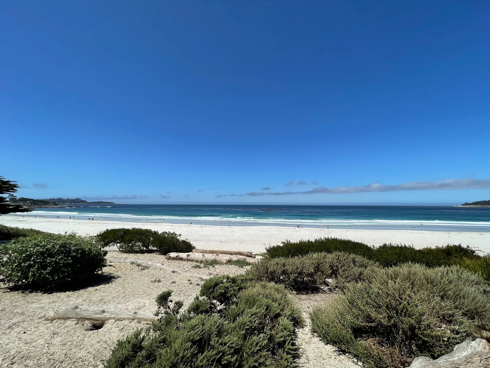
Friday is also the windy day of the sequence. The discussion expects the wind to strengthen ahead of the front, holding mostly between 15 and 30 miles per hour with gusts of 30 to 40 miles per hour across the region. Gusts to 50 miles per hour could occur right on the coast, above all along Monterey Bay and the Big Sur shoreline, and where the wind funnels through gaps and passes such as the Salinas Valley. On the water, a gale warning runs from 9 a.m. this morning to 3 p.m. this afternoon for Monterey Bay, following a small craft advisory that was in effect until 9 a.m. The surf zone forecast issued at 2:36 a.m. on Friday puts Friday wind on the Monterey Bay and Big Sur coast at southwest at 23 miles per hour, becoming 28 miles per hour.
Behind the main front, the pattern changes character rather than ending. The rain becomes showery, the winds diminish and turn toward the west and northwest, and highs on Friday will be remarkably cooler than Thursday, with low lying places topping out in the upper 50s or low 60s, according to the discussion. The surf zone forecast gives a high temperature range of 59 to 65 degrees for the Monterey Bay and Big Sur coastal areas on Friday, with surf height of 8 to 12 feet on west facing beaches and 6 to 9 feet on south facing beaches, a high tide of 5.1 feet at 11:34 a.m., and water temperature around 59 degrees.
The coastal alerts change hands this evening. In a coastal hazard message timed 3:44 a.m. on Friday, the weather service kept four alerts stacked on the Southern Monterey Bay and Big Sur Coast, the zone that covers Carmel, Carmel Point and Pebble Beach. The first coastal flood advisory remains in effect until 4 p.m. this afternoon, with up to 1.5 feet of inundation above ground level possible in low lying areas near shorelines and tidal waterways. The beach hazards statement remains in effect through this afternoon, with an increased risk of sneaker waves and strong rip currents and breaking waves of 15 to 20 feet.
At 6 p.m., the high surf warning takes over from the hazards statement and runs to 4 a.m. on Sunday, with dangerously large breaking waves of 25 to 35 feet and occasional sets of 40 to 50 feet at favored breakpoints. A second coastal flood advisory runs from midnight tonight to 6 p.m. on Saturday, and it is a wave driven alert rather than a tide driven one: the biggest breakers are expected to climb the sand and top seawalls, putting water onto the low ground behind them. The message says the Saturday advisory is specifically for the Pacific Coast, where the largest breakers are expected to spill over seawalls and run up beaches onto the ground beside them.
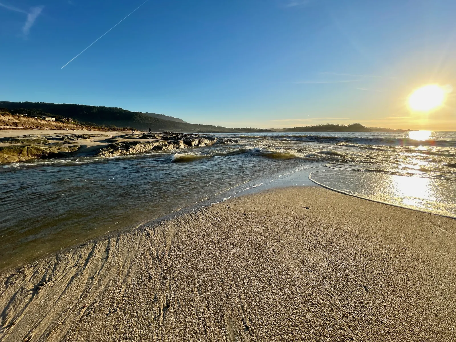
The message spells out the combined risk plainly. High tides will flood low lying infrastructure, force isolated road closures and add to coastal erosion, and the higher water pushes the surf line inland, shrinking the dry sand people use to get clear of the waves. The large breakers can overpower swimmers and pull people into the sea from beaches, jetties and rocks, with significant physical injury and an increased risk of drowning, and waves can sweep across the shoreline without warning.
Saturday pairs the biggest water with the quietest sky of the weekend. The long term discussion expects a lull in the rain on Saturday, with some lingering post-frontal showers in the morning and highs in the lower to middle 60s across the lower elevations. The surf zone forecast for Saturday puts surf height at 16 to 21 feet on northwest facing beaches and 6 to 9 feet on south facing beaches on the Monterey Bay and Big Sur coast, with a high tide of 4.8 feet at 12:17 p.m. and light east wind. The marine section of the discussion expects significant wave heights to build to 25 feet by Saturday. The beaches section expects the peak of the swell to arrive on Saturday, with breaking waves reaching up to 35 feet and occasional sets of 40 to 50 feet likely at favored breakpoints.
The discussion looks past the weekend to a pattern that stays active. Then a second front arrives on Sunday and moves through into Monday morning, with rainfall totals expected to be similar to Friday. A quieter stretch follows later Monday and into Tuesday. A third system then moves in, arriving later Tuesday and lasting through Wednesday and Thursday, with its rainfall amounts not yet certain at this range. As the week goes on, the discussion says the main point to watch will be soil saturation: the first rounds of rain are generally beneficial and reduce the fire weather threat, but as local soils saturate, more water runs onto the surface and into streams, and the chance of shallow landslides rises. Beyond the seven day outlook, the pattern leans toward rainfall totals above the seasonal average through late November.
For Friday itself, the practical sequence for Carmel Beach, the Scenic Road shoreline and the Pebble Beach coast is set by the clocks in the message. Rain and the strongest gusts arrive during the day, the first flood advisory ends at 4 p.m., the warning begins at 6 p.m., and the second flood advisory begins at midnight. Its safety guidance is blunt: keep out of the surf entirely, keep off rocks, jetties and piers, and always face the water. For drivers, the message counsels patience where roads close, warns against going past a barricade or crossing flooded pavement whose depth cannot be judged, and urges owners of flood prone property to protect it before the water arrives.
We correct errors promptly and note them here. Send corrections through the contact form on our contact page.