Saturday Is the Peak Surf Day on the Carmel Coast, With the Flood Advisory Running to 6 p.m.
The swell that has been building all week reaches its peak on Saturday. A hazard message timed 1:05 a.m. keeps the high surf warning on the Southern Monterey Bay and Big Sur Coast until 4 a.m. Sunday, with breakers of 25 to 35 feet and occasional sets of 40 to 50 feet at favoured breakpoints, and keeps the wave driven coastal flood advisory in place until 6 p.m. this evening. Behind Saturday comes a quieter Sunday in the surf zone, then a second rain system, a third later in the week, and a new round of heavy swell on Monday.
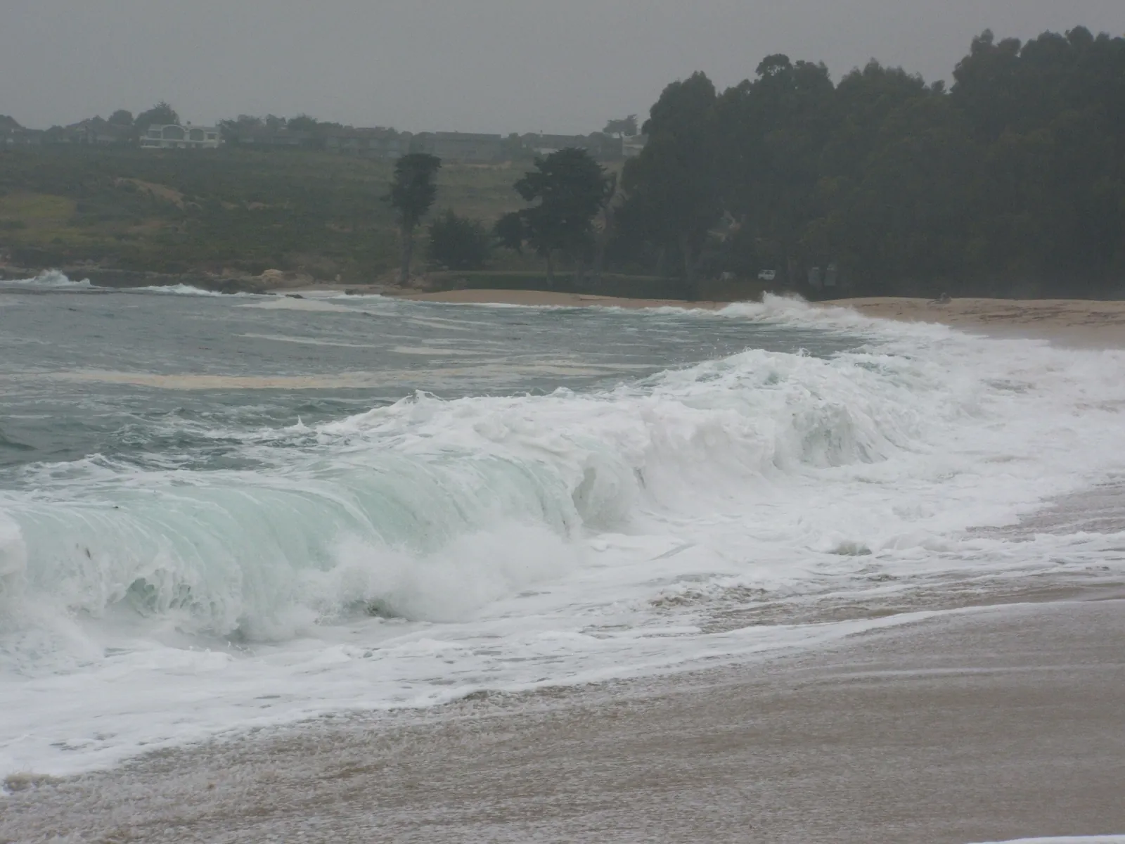
This is the day the whole sequence has been pointing at. The beaches section of the National Weather Service forecast discussion, issued at 9:31 p.m. on Friday, puts the peak of the swell on Saturday, and the coastal hazard message that followed at 1:05 a.m. on Saturday keeps two alerts stacked on the Southern Monterey Bay and Big Sur Coast, the zone that covers Carmel and Pebble Beach. The high surf warning now runs until 4 a.m. on Sunday, carrying breakers of 25 to 35 feet, with occasional sets of 40 to 50 feet where the coast focuses the swell. The discussion adds strong rip currents and a raised risk of sneaker waves to the same picture.
The surf zone forecast issued at 4:35 a.m. on Saturday gives the daytime numbers for the Monterey Bay and Big Sur zone itself: surf of 16 to 21 feet on west facing beaches and 5 to 8 feet on south facing beaches, under partly cloudy skies, with high temperatures of 61 to 66 degrees, water near 59 degrees, and light east winds. Those zone heights sit below the warning's breaker range, which covers Pacific coast beaches generally and reserves its biggest sets for the favoured breakpoints. The Weather Channel listing for Carmel put the village at a high of 63 degrees and a low of 54, with the chance of rain down to about one in ten after the morning.
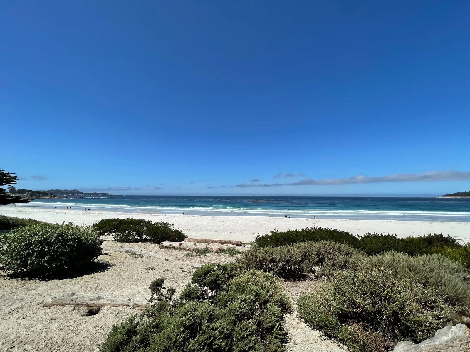
Saturday's coastal flood advisory is a product of the surf itself, and it stays in effect until 6 p.m. this evening. The hazard message says the advisory applies specifically to the Pacific Coast, where runup from the big breakers lifts the water level at the shoreline, sends waves over seawalls, and pushes water up the beaches onto the low ground beside them. The discussion makes the same point in research terms: runup can raise the mean water level by a tenth to a fifth of the breaking wave height across exposed beaches, and the effect bites hardest around high tide. Today's high tide in the zone is 4.8 feet at 12:17 p.m., according to the surf zone forecast.
The message's impact list is the familiar one for this coast, and Saturday is the day it applies in full. High tides can put water over low lying infrastructure, close roads in isolated spots, and eat at the shoreline. Water reaching higher up the beach leaves less dry ground to retreat across. Breakers of this size can drag people off beaches, jetties, and rocks and into the sea, with serious injury and a heightened risk of drowning, and a wave can cross the shoreline with no advance sign. The guidance that goes with the message: keep out of the water altogether, keep off jetties, piers, and other structures at the water's edge, leave extra time if travel cannot wait, never drive around a barricade or through water whose depth is not known, and protect property that floods.
On land, Saturday is the gap in the weather. The forecast discussion issued at 12:02 a.m. says the first frontal system in the current series moved through on Friday, leaving scattered showers that persist into Saturday morning. Skies start partly to mostly cloudy, cloud builds again through the afternoon and evening as the second system closes in, highs on the coast stay in the lower 60s, and winds stay gentle before turning southerly. On the water the hazard lasts longer: the discussion's marine section keeps very hazardous conditions going into early next week, with west to northwest seas up to 25 feet, and the office's advisory list keeps a small craft advisory on Monterey Bay until 4 a.m. on Monday.
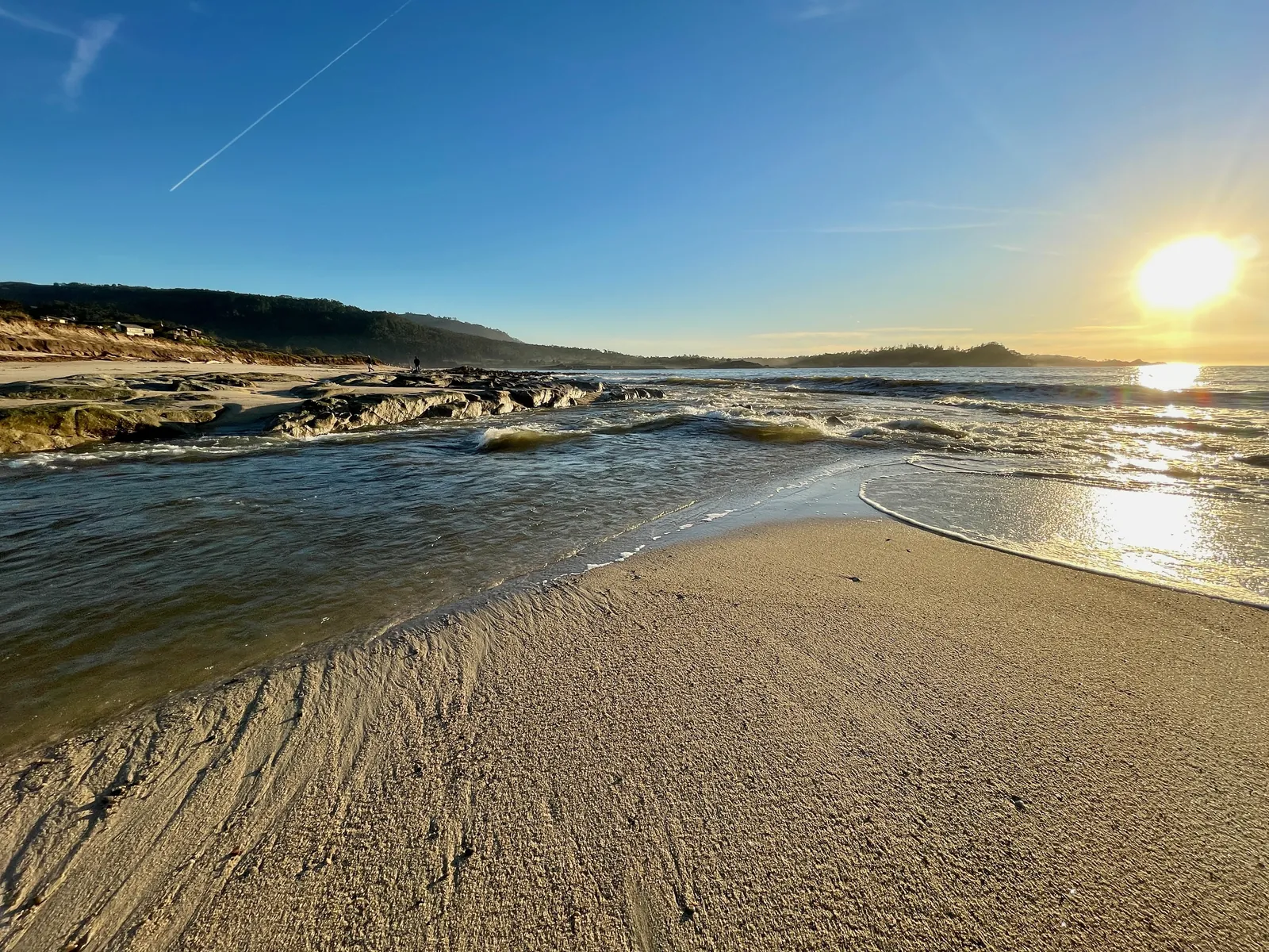
The turn comes early on Sunday. The warning expires at 4 a.m., and the surf zone forecast drops Sunday's heights on this coast to 9 to 13 feet on northwest facing beaches and 3 to 6 feet on south facing ones, mostly cloudy, with southeast winds rising to 17 miles per hour. The discussion's beaches section agrees that the wave height eases somewhat on Sunday, and then warns that a fresh round of very high swell arrives on Monday.
The rain follows the same rhythm. The discussion brings the second frontal system through from Sunday into the early part of Monday, with rain totals of half an inch to an inch across the Santa Lucia range, among other parts of the region, and smaller amounts inland on the Central Coast, a quarter of an inch up to a half, with winds noticeably weaker than Friday's system brought. A lull follows later Monday into Tuesday. A third system is then due later Tuesday through Wednesday and Thursday, and while the discussion says it is too early to be confident about its totals, the trend leans toward a stronger system than the Sunday one, and a slower moving one. Flood concern builds across the sequence as the ground soaks through and creeks and streams fill toward their banks, and beyond the seven day outlook the pattern stays active, leaning toward rain totals above the seasonal average into the last week of November.
We correct errors promptly and note them here. Send corrections through the contact form on our contact page.