Monday, November 16, 2026 Search Subscribe
Carmel, covered daily

Highway 1 Reopens Through Big Sur After Plaskett Fire

Caltrans lifted the closure at 6 a.m. on Sept. 14, restoring through traffic between Cambria and Carmel as evacuation orders around the Plaskett Fire were downgraded and lifted.
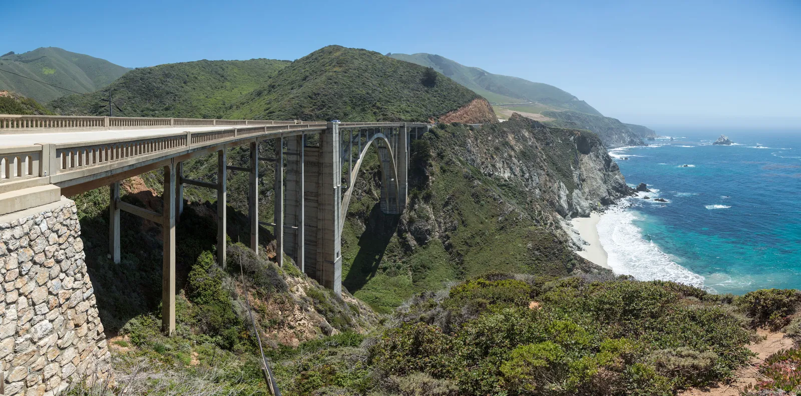
Bixby Creek Bridge on Highway 1 in Big Sur. The highway fully reopened at 6 a.m. on Sept. 14, restoring through traffic between Cambria and Carmel for the first time since the Plaskett Fire forced its closure.
Diliff, CC BY-SA 3.0 via Wikimedia Commons · Source

Highway 1 fully reopened through Big Sur at 6 a.m. on Monday, Sept. 14, 2026, restoring through traffic between Cambria and Carmel for the first time since the Plaskett Fire forced its closure. InciWeb announced that "Highway 1 will reopen at 0600 on September 14, restoring public access," and CAL FIRE confirmed the route was "fully reopened through the Plaskett Fire area and between Cambria and Carmel."

The reopening arrived as firefighters gained ground on the Plaskett Fire, which had burned roughly 29,961 acres and reached 89 percent containment as of Sept. 14, according to Monterey County's public information update. CAL FIRE posted a series of updates through the day on Sept. 14, at 6:28 a.m., 8:46 a.m., 5:15 p.m. and 6:37 p.m., tracking the lifting of restrictions as conditions improved. More detail is available on the CAL FIRE incident page.
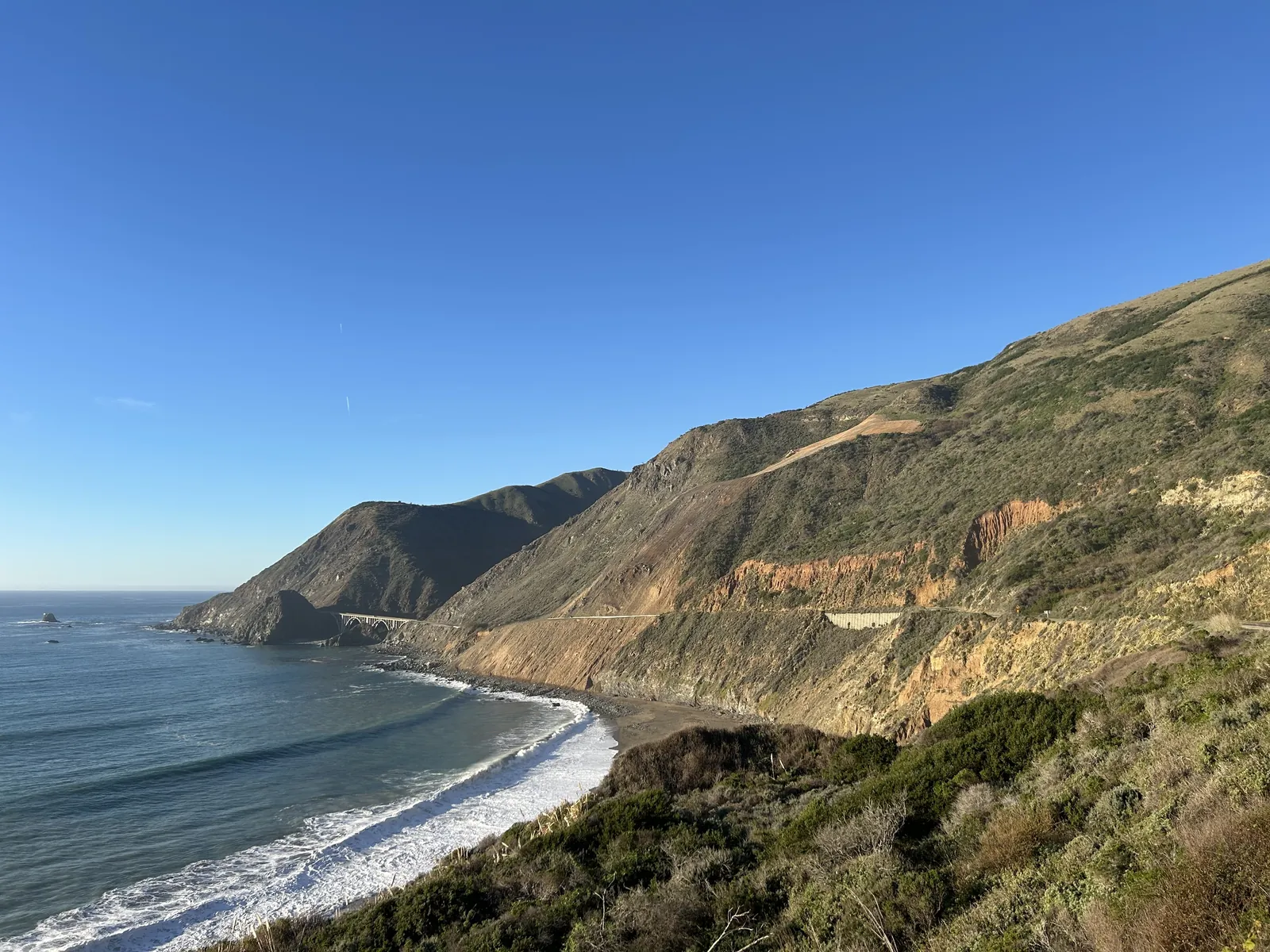
The Regent's Slide area along Highway 1 in Big Sur. Slides and fire damage are the recurring reasons this stretch of the coast highway closes, and the reason its reopenings matter so much to the region.
Dialh, CC0 via Wikimedia Commons · Source

Evacuation orders in the fire area were stepped down in stages. Zones MRY-F034, MRY-F035 and MRY-F036 were downgraded, while zones MRY-F037-A and B, MRY-F038-A and B, and MRY-F039 were lifted entirely. The California Highway Patrol lifted the Highway 1 closure order as the zones changed status, and KION reported on Sept. 17 that evacuations were lifted as progress continued on the Big Sur fires.

The Plaskett Fire was one of two major fires burning in the region. The Timber Fire had burned about 25,426 acres and stood at 39 percent containment as of Sept. 14, per the county's public information update, keeping fire crews and air resources spread across the Santa Lucia Range even as the highway reopened.

For Carmel, the reopening restores the coast route that connects the village to Big Sur's lodges, restaurants and trailheads, a corridor that feeds the Peninsula's visitor economy in both directions. KPRL reported on Sept. 14 that the highway was fully reopened on the Big Sur coast, ending a closure that had forced travelers into long inland detours and cut off through trips down the coast.
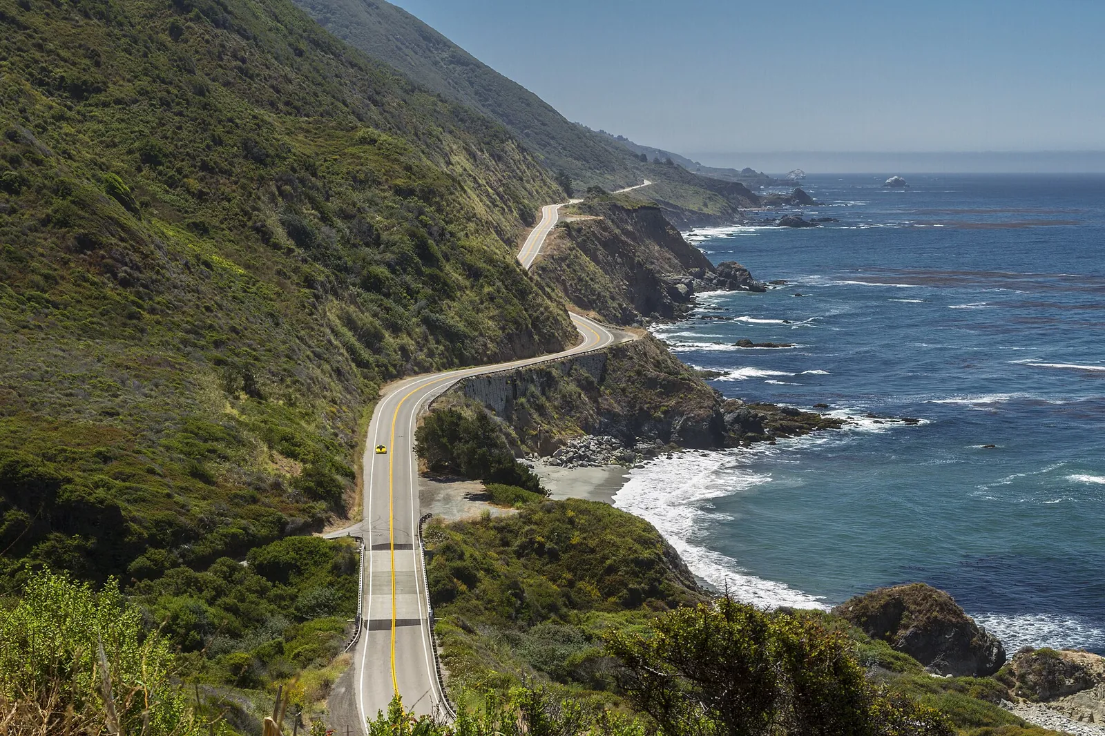
Highway 1 clings to the coastal cliffs of Big Sur, about a mile north of Ragged Point. The two-lane highway is the only through road connecting Carmel to the Big Sur coast, which is why every closure and reopening is regional news.
Fred Moore, CC BY 2.0 via Wikimedia Commons · Source

For the small communities strung along the Big Sur coast, the reopening ended weeks of isolation. With the highway closed, residents and businesses between the closure points faced long detours around the Santa Lucia Range for supplies, commutes and emergency access, and lodges and restaurants lost the through traffic that sustains them outside the summer season. The Sept. 14 reopening made the coast route whole again.

Officials urged drivers to remain alert. Fire season was far from over in mid-September, and the reopened stretch passes through a burn area where conditions can change quickly. Travelers are advised to check road conditions before heading south, as emergency closures remain possible while crews finish containment and repair work along the corridor.

Filed under:
  • Highway 1
  • Big Sur
  • Plaskett Fire
  • Evacuations
  • Caltrans
Carmel Tribune
Staff reports

Reporting from the Carmel Tribune.

Corrections
We correct errors promptly and note them here. Send corrections through the contact form on our contact page.
More from Public Safety

Midweek Storm Sharpens for Carmel, With a Wind Advisory Possible and Excessive Rain Rated a Slight Risk

Monday rain clears the Central Coast by early afternoon and a cold trough follows tonight, before a stronger front arrives late on Tuesday. The San Francisco weather office says strong southerly winds ahead of that front may require a Wind Advisory from late Tuesday night through Wednesday, thunderstorm chances rise on Wednesday evening into Thursday with strong gusts as the main concern, and the Weather Prediction Center keeps a Slight Risk of excessive rainfall for central coastal California on Wednesday even as its atmospheric river trends weaker, with areal averages of 1 to 2 inches and local totals of 3 to 4 inches falling mostly within 3 to 6 hours. The high surf advisory runs until 4 a.m. on Tuesday and Carmel River State Beach was still listed closed on Monday morning.

Carmel Tribune · Nov 16, 2026

Second Storm Reaches Carmel Tonight, With Rain Lingering Into Monday and a Stronger System Due Midweek

The second front in the current series crawls south on Sunday and reaches the Monterey Bay region during the evening, with light rain showers arriving at Monterey area terminals between 7 and 10 p.m. and steady rain that could linger into the Monday morning commute. Forecast totals for the northern Central Coast run from a quarter of an inch to half an inch, winds stay well below Friday's gusts, and the discussion then looks to a slower, wetter system from late Tuesday through Thursday, with 2 to 3 inches of rain across much of the Central Coast and a rising flood concern as the ground soaks through.

Carmel Tribune · Nov 15, 2026

Surf Throws Rocks and Debris Across Scenic Road, Closing Seven Carmel Point Streets

The Monterey County Sheriff's Office announced road closures on Saturday morning at six Scenic Road intersections and at Carmelo Street and 17th Avenue, after the peak of the weekend swell threw rocks, sand and debris across the Carmel Point roadway. Photographs published by the county Department of Emergency Management show rocks scattered over wet asphalt, a collapsed fence and a utility truck working in the debris, and the high surf advisory that succeeds the warning runs until 4 a.m. on Tuesday.

Carmel Tribune · Nov 15, 2026
Read nextMidweek Storm Sharpens for Carmel, With a Wind Advisory Possible and Excessive Rain Rated a Slight Risk
Carmel TribunePublic Safety