Weekend Surf Forecast Raised on the Carmel Coast, to 35 Feet With Sets That Could Reach 50
A coastal hazard message issued late on Wednesday night lifts the high surf warning for the Southern Monterey Bay and Big Sur Coast from the 25 to 30 foot range published on Wednesday morning, adds occasional sets of 40 to 50 feet at favored breakpoints, and stacks a second coastal flood advisory over Saturday, when large waves are expected to run up beaches and crash over seawalls.
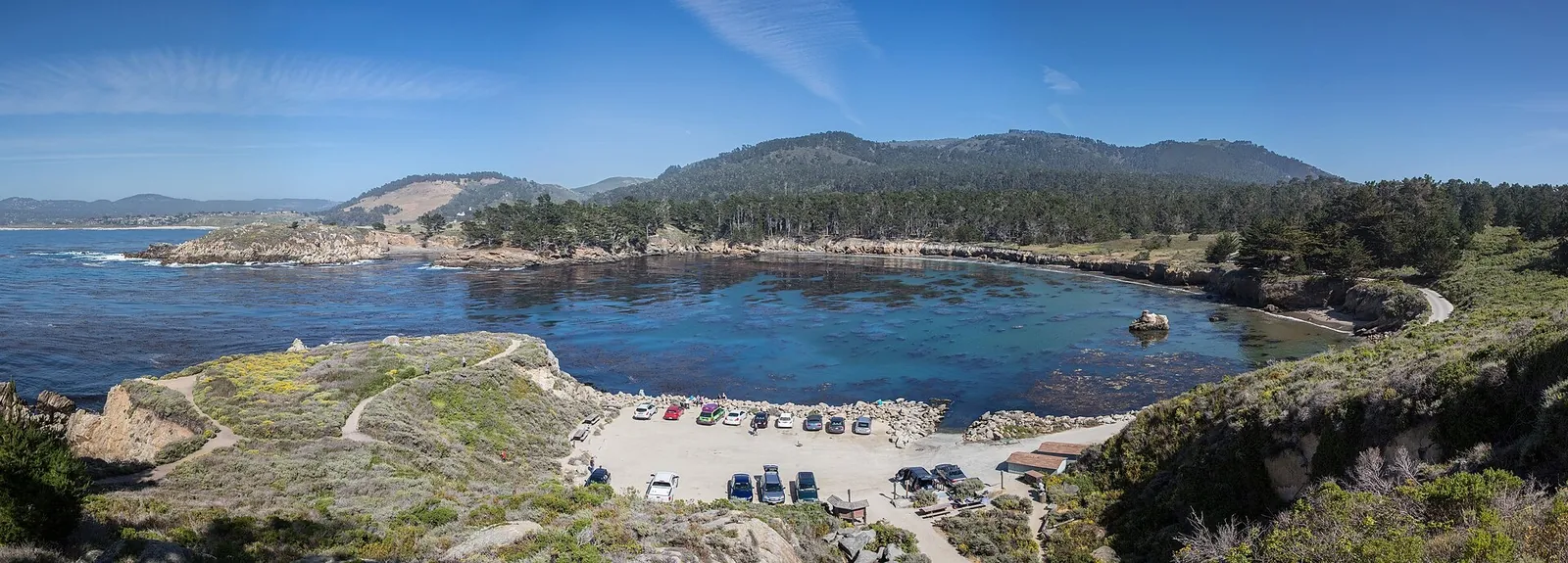
The weekend surf expected on the Carmel coast got bigger on paper late on Wednesday night. In a coastal hazard message timed 10:48 p.m. on Wednesday, the National Weather Service office in San Francisco kept its high surf warning in place for the Southern Monterey Bay and Big Sur Coast, the zone that covers the beaches at Carmel, Carmel Point and Pebble Beach, and raised the numbers inside it. The warning window itself did not move: it still runs from 6 p.m. on Friday to 4 a.m. on Sunday.
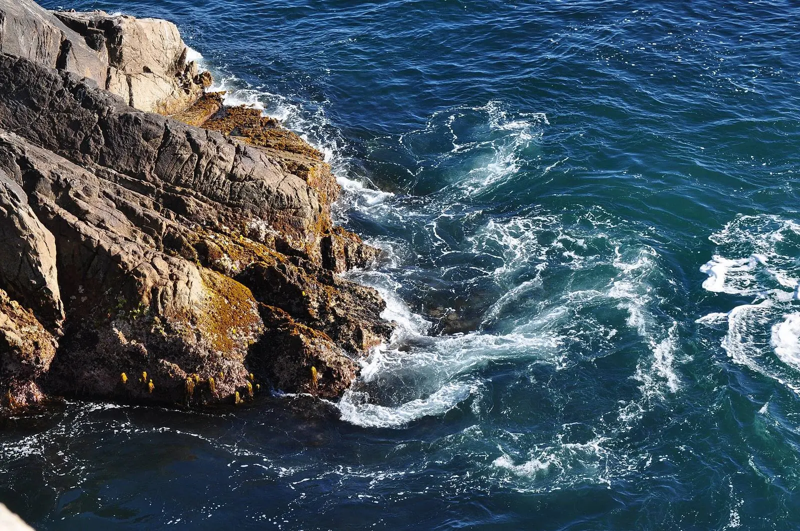
What changed is the size of the water. The warning now expects breaking waves of 25 to 35 feet, up from the 25 to 30 foot range in the message issued early on Wednesday, and it adds a figure the earlier message did not carry: at favored breakpoints, occasional sets could reach 40 to 50 feet. Breakers of that size can overpower swimmers and pull people into the sea from beaches, jetties and rocks, with significant injury and a higher risk of drowning, according to the message.
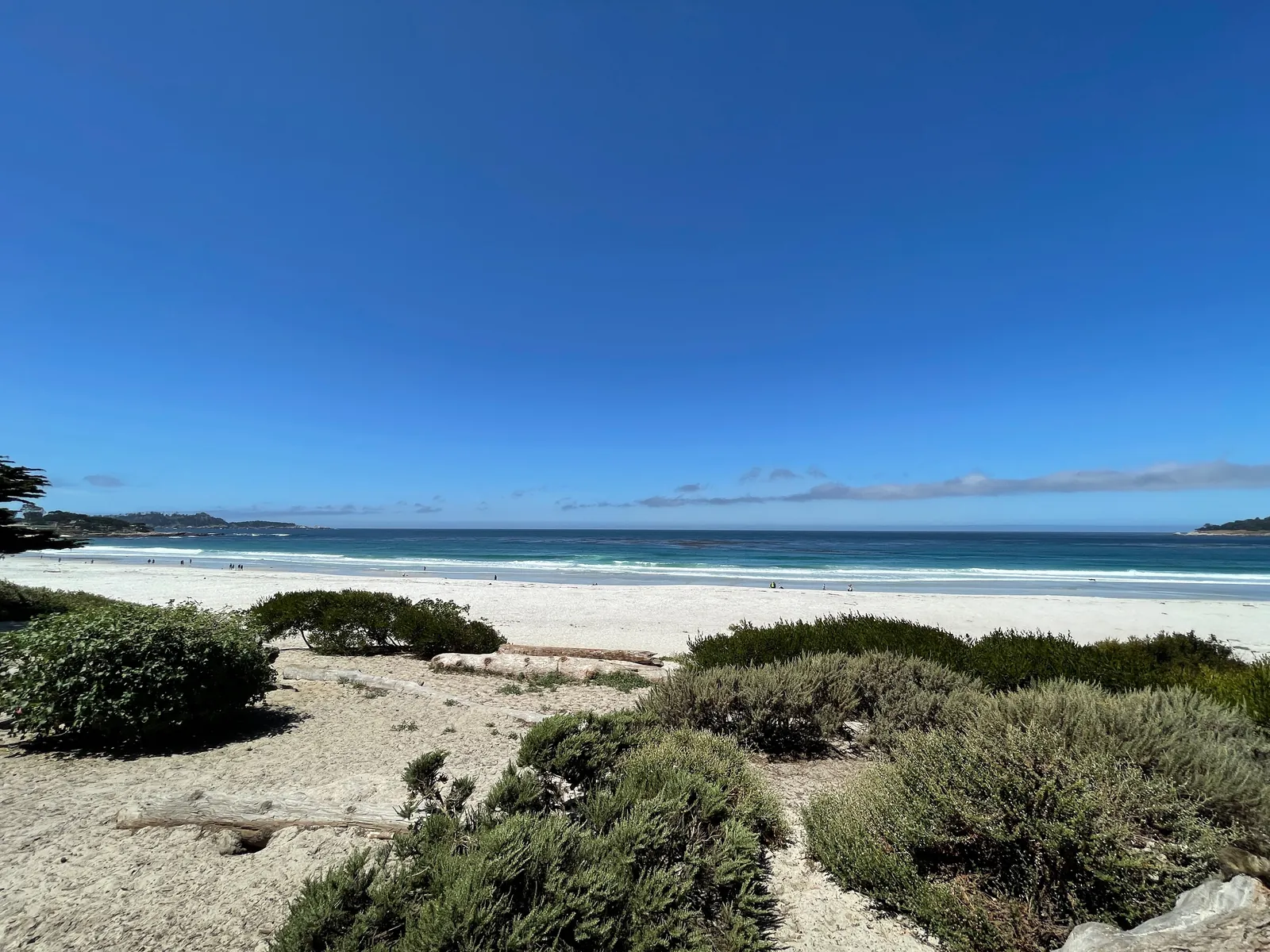
The late Wednesday message also adds a new alert rather than only raising an old one. A second coastal flood advisory, new in this message, runs from midnight on Friday night to 6 p.m. on Saturday. Under it, large breaking waves are expected to run up beaches and crash over seawalls, putting water over the low ground next to them. The message says the Saturday advisory is specifically for the Pacific Coast, where the largest breakers are expected to top seawalls and wash far up the beaches into the low ground behind them.
The first coastal flood advisory continues on its earlier clock, in effect until 4 p.m. on Friday. It is a tide driven alert: water could stand as much as 1.5 feet above ground level in low lying areas near the shoreline and tidal waterways. Across both advisories, the message expects high tides to flood low lying infrastructure, force isolated road closures and add to coastal erosion, and it warns that rising tides will carry water and waves farther up the beach than normal, narrowing the dry ground people use to get clear.
Before the warning takes over, the beach hazards statement remains in effect through Friday afternoon, with an increased risk of sneaker waves and strong rip currents and breaking waves of 15 to 20 feet. The surf zone forecast and the Carmel alert listing both put the end of that statement at 6 p.m. on Friday, the hour the high surf warning begins. The forecast discussion describes the same sequence: the forerunners of the swell bring rip currents and sneaker waves through Friday, and the statement is then replaced by the warning.
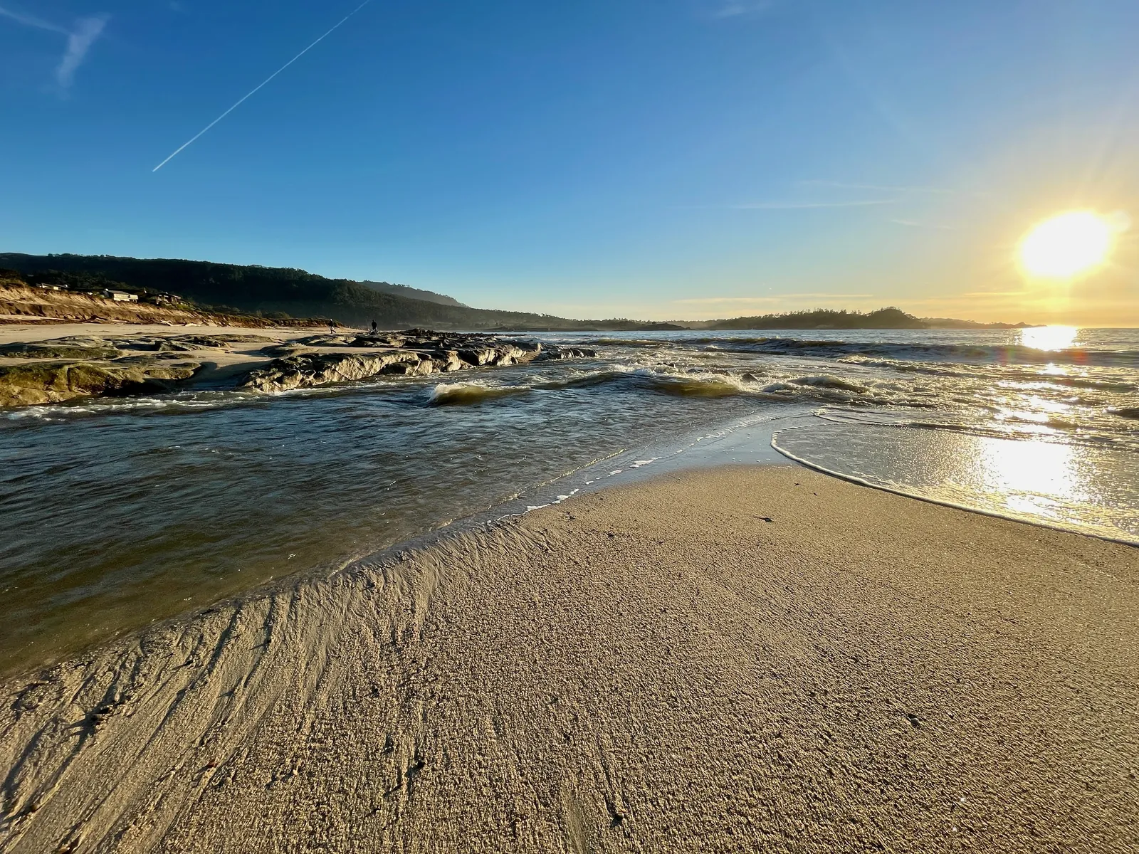
The surf zone forecast the weather service issued at 4:35 a.m. on Thursday gives the build up on the Monterey Bay coast. For Thursday, surf height on west facing beaches is 8 to 12 feet, with 3 to 5 feet on south facing beaches, and a high tide of 5.4 feet at 10:56 a.m. For Friday, west facing beaches rise to 9 to 13 feet and south facing beaches to 4 to 7 feet, with a high tide of 5.1 feet at 11:34 a.m. and south winds building from 23 to 29 miles per hour as rain arrives. The warning surf of Friday night and Saturday sits on top of that pattern, not in place of it.
The message tells everyone to stay out of the water while the surf is life threatening, and to stay off jetties, piers, rocks and other waterside structures. It repeats the oldest rule on this coast: never turn your back on the ocean, because a wave can cross the shoreline with no warning at all. For the flood advisories, it asks anyone who has to travel to allow extra time for possible road closures, not to drive around barricades or through water of unknown depth, and to take the steps needed to protect flood prone property. It points readers to its Monterey Bay forecasts at weather.gov/mtr for local weather, surf and tide updates.
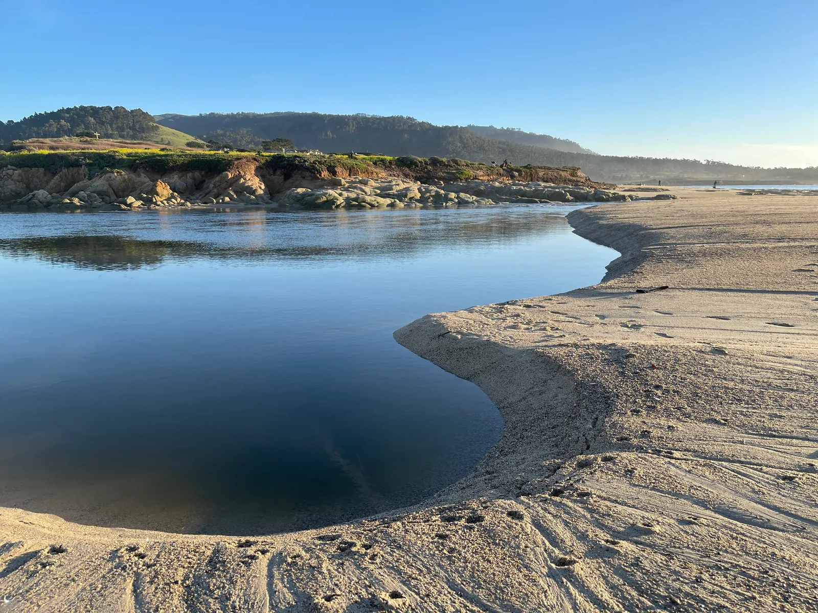
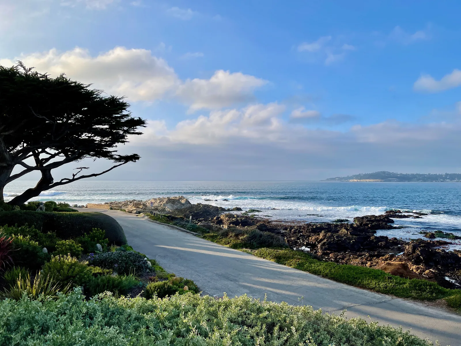
For Carmel Beach, the Scenic Road shoreline and the Pebble Beach coast, the practical change since Wednesday morning is one of degree that matters: the top of the warning range is five feet higher, the biggest sets are now named at up to 50 feet, and Saturday carries its own flood advisory on top of the warning. The shoreline to watch most closely is the one the second advisory describes, where the waves themselves, not only the tide, do the flooding.
We correct errors promptly and note them here. Send corrections through the contact form on our contact page.