High Surf Warning Joins the Carmel Coast Alerts, With 25 to 30 Foot Breakers Due This Weekend
A coastal hazard message issued just after midnight on Wednesday stacks three alerts on the Southern Monterey Bay and Big Sur Coast: a flood advisory through Friday afternoon, a beach hazards statement from Wednesday night, and a high surf warning for Friday evening through early Sunday with dangerously large breaking waves of 25 to 30 feet.
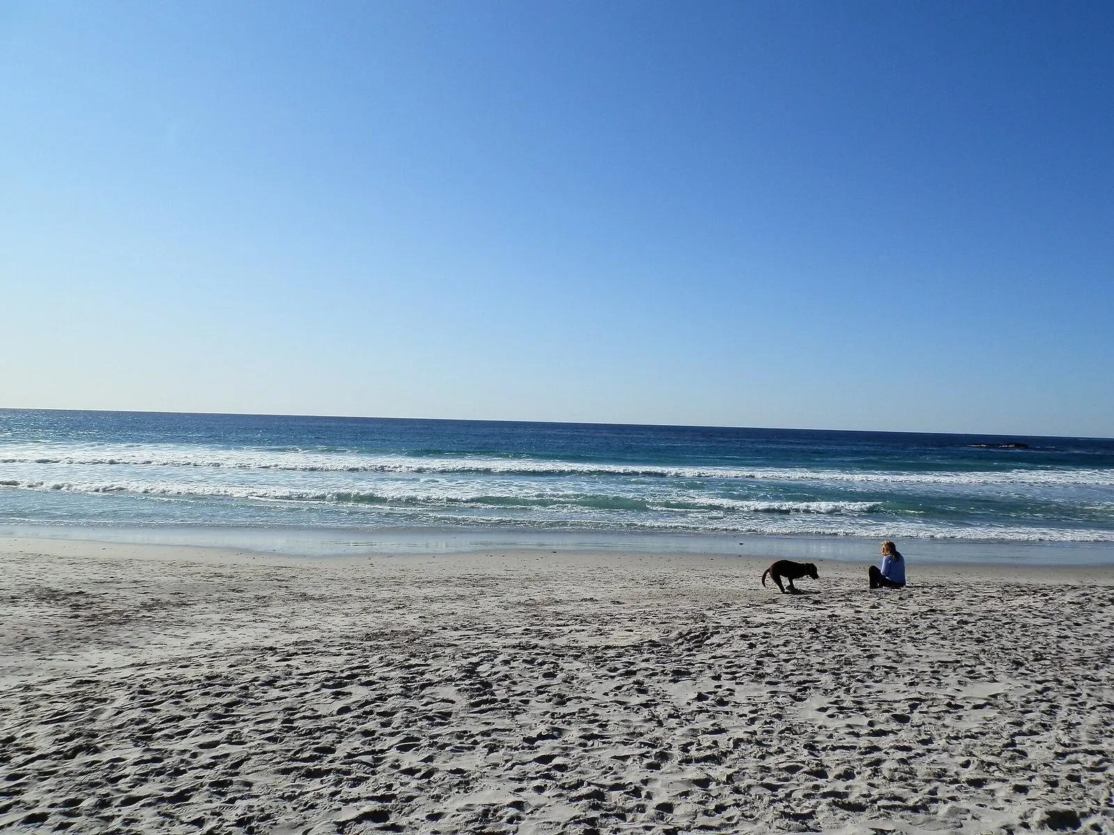
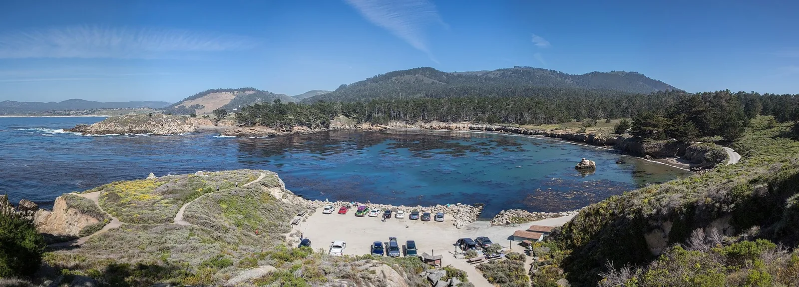
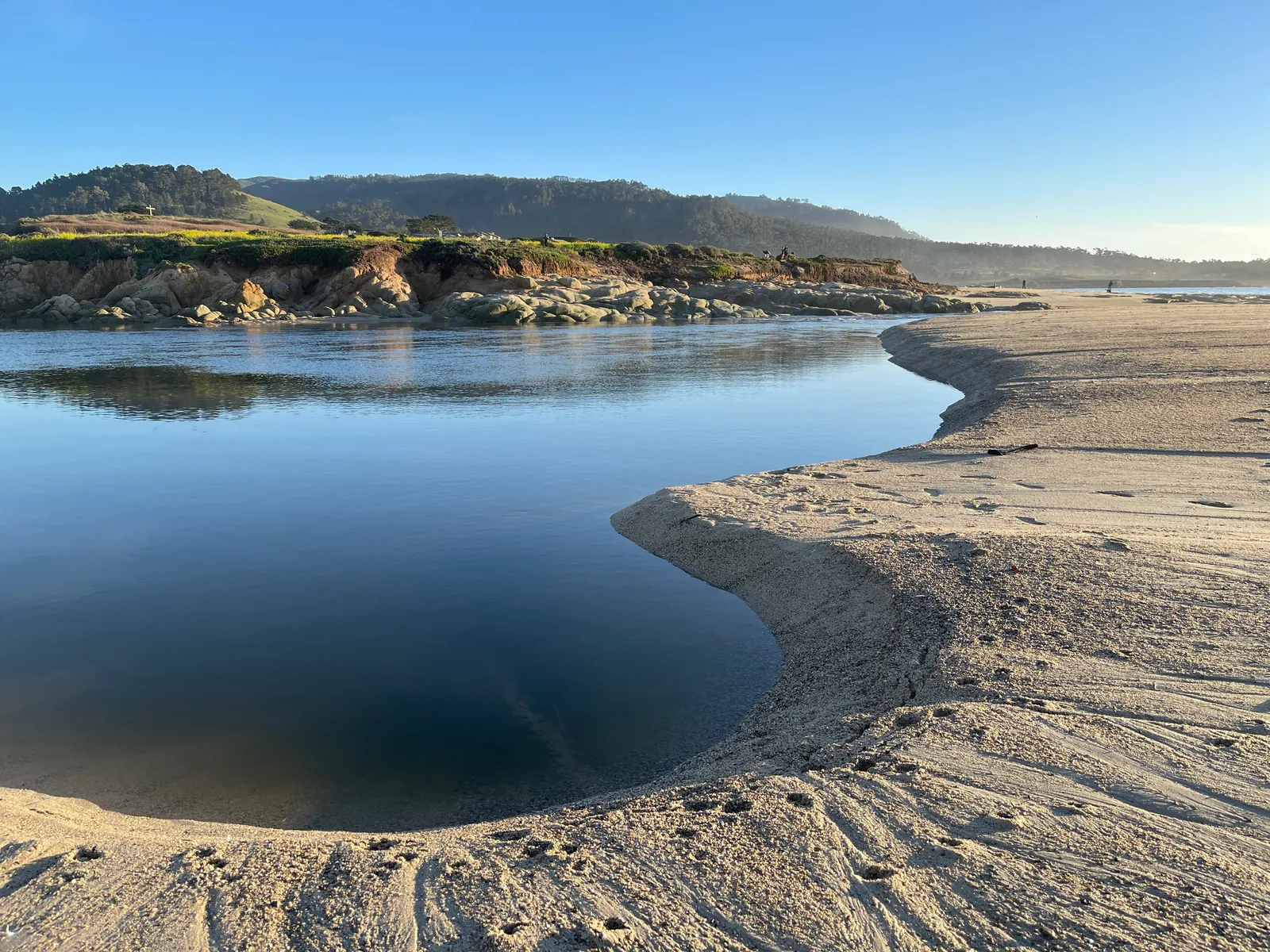
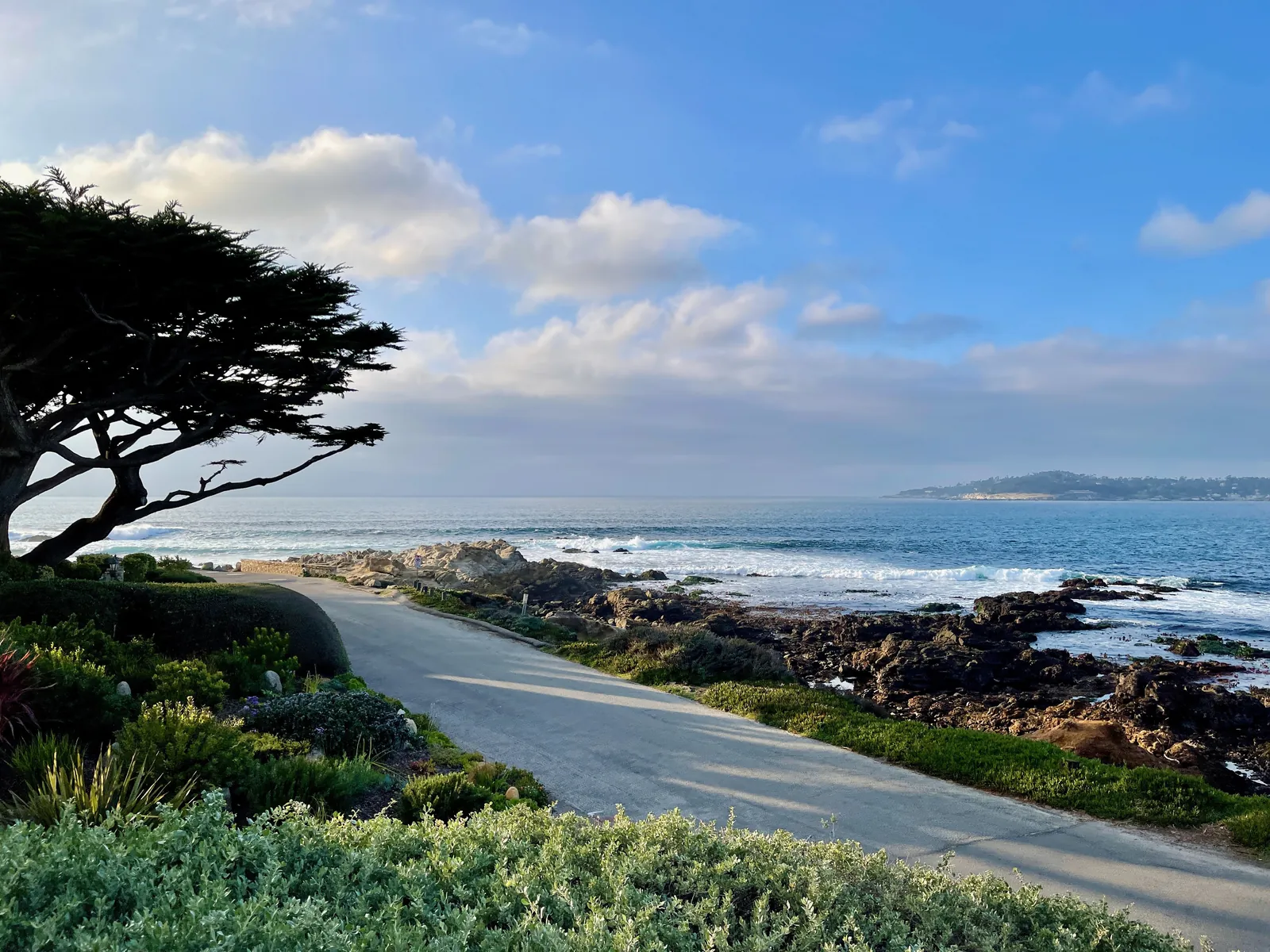
The Carmel shoreline is under a stack of coastal alerts that builds through the week and peaks this weekend. In a coastal hazard message timed 12:14 a.m. on Wednesday, the National Weather Service office in San Francisco kept a coastal flood advisory in effect for the Southern Monterey Bay and Big Sur Coast, added a beach hazards statement starting Wednesday night, and posted a high surf warning for Friday evening through early Sunday. The zone covers the beaches at Carmel, Carmel Point and Pebble Beach.
The escalation matters because of the numbers at the top of the warning. For the high surf warning, the weather service expects dangerously large breaking waves of 25 to 30 feet from 6 p.m. on Friday to 4 a.m. on Sunday. Waves that size can overpower swimmers and pull people into the sea from beaches, jetties and rocks, with significant physical injury and an increased risk of drowning, according to the message.
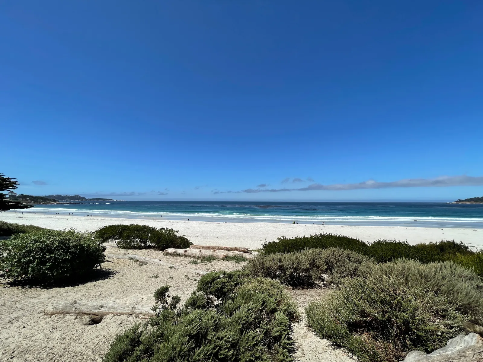
The first alert is already running. The coastal flood advisory remains in effect until 4 p.m. on Friday, and it is a tide problem before it is a surf problem: at high tide, seawater could stand as much as 1.5 feet deep over low ground beside the shore and along tidal channels. The weather service expects high tides to flood low lying infrastructure, force isolated road closures and add to coastal erosion.
The second alert starts tonight. The beach hazards statement runs from 9 p.m. on Wednesday through 6 p.m. on Friday, with an increased risk of sneaker waves and strong rip currents and breaking waves of 15 to 20 feet. Sneaker waves are the quiet hazard in the set: the message warns that a wave can arrive across the shoreline with no warning at all, and that each high tide in the window will run higher onto the sand than usual, narrowing the dry strip people rely on to get clear of the surf.
The third alert is the weekend warning above, and it replaces the hazards statement as the controlling alert from Friday evening onward.
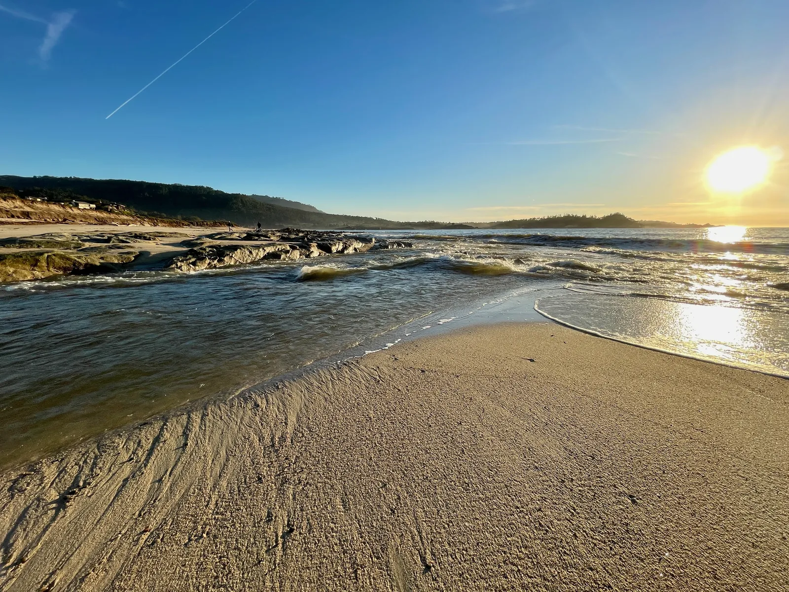
The surf zone forecast the weather service issued on Tuesday night gives the near term shape of the water before the warning window opens. For Wednesday, surf height on northwest facing beaches in the Monterey Bay and Big Sur coastal areas is 6 to 9 feet, with 3 to 5 feet on southwest facing beaches, and a high tide of 5.6 feet at 10:23 a.m. For Thursday, west facing beaches rise to 7 to 11 feet. The warning surf of Friday night and Saturday is a separate, larger swell arriving on top of that pattern.
This is a new and stronger event than the hazard spell this title covered on Nov. 5, when breaking waves of 12 to 16 feet were expected through Monday evening. The top of the range has now nearly doubled, and the alert has been raised from a statement to a warning for the weekend window.
The weather service advises anyone heading for the coast to monitor local weather, surf and tide forecasts from its Monterey Bay area office. During the hazard and warning windows, the practical reading of the message for Carmel Beach, the Scenic Road shoreline and the Pebble Beach coast is simple: keep distance from the waterline, stay off rocks and jetties, and treat any dry sand near the surf as borrowed ground.
We correct errors promptly and note them here. Send corrections through the contact form on our contact page.