Beach Hazards Run Through Monday on the Carmel Coast, and a Flood Advisory Holds Into Next Week
The National Weather Service expects breaking waves of 12 to 16 feet, sneaker waves and strong rip currents along the Southern Monterey Bay and Big Sur Coast through Monday evening, with up to 1.6 feet of inundation possible in low-lying shoreline areas under a coastal flood advisory in effect until 4 p.m. on Friday, November 13.
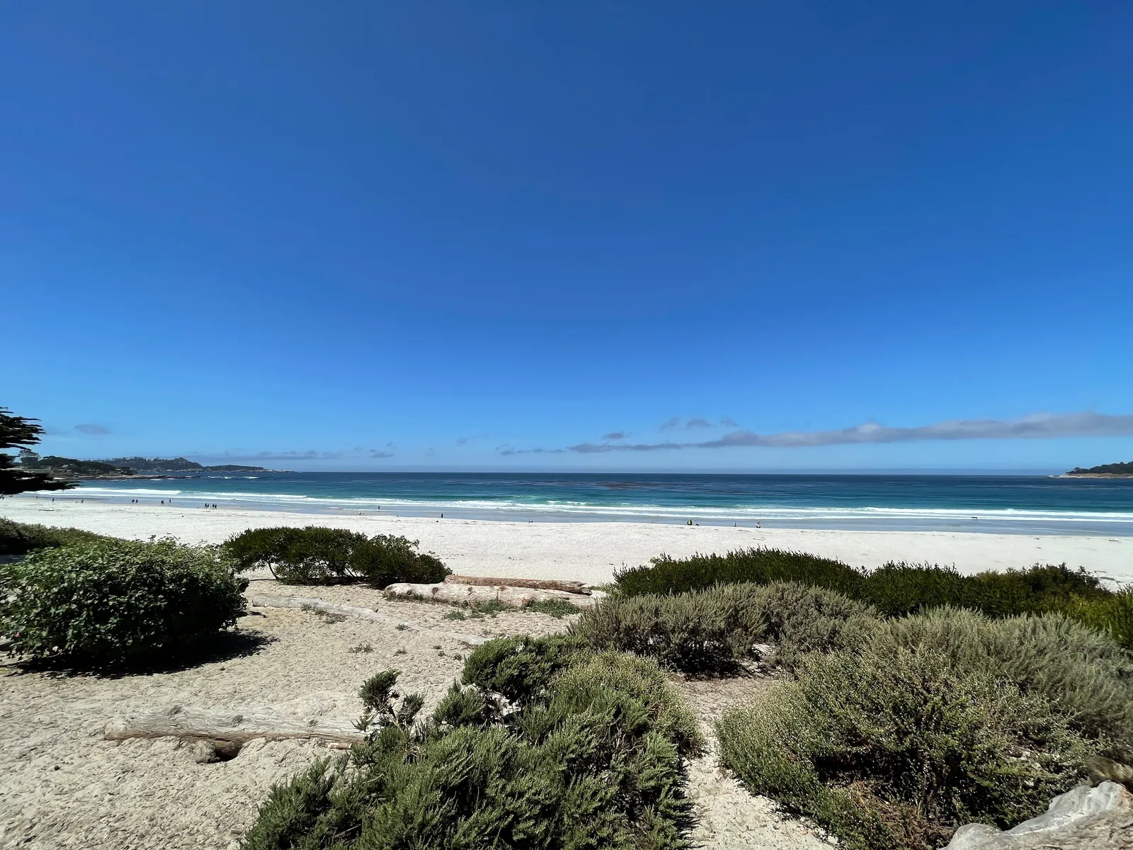
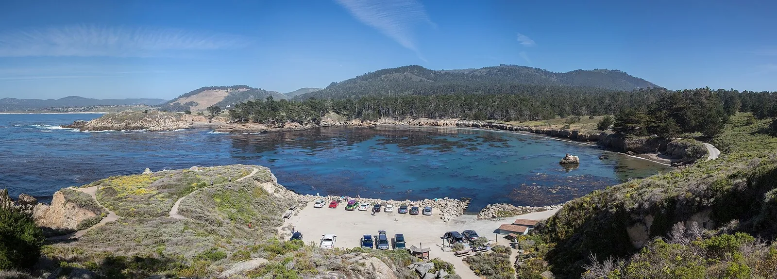
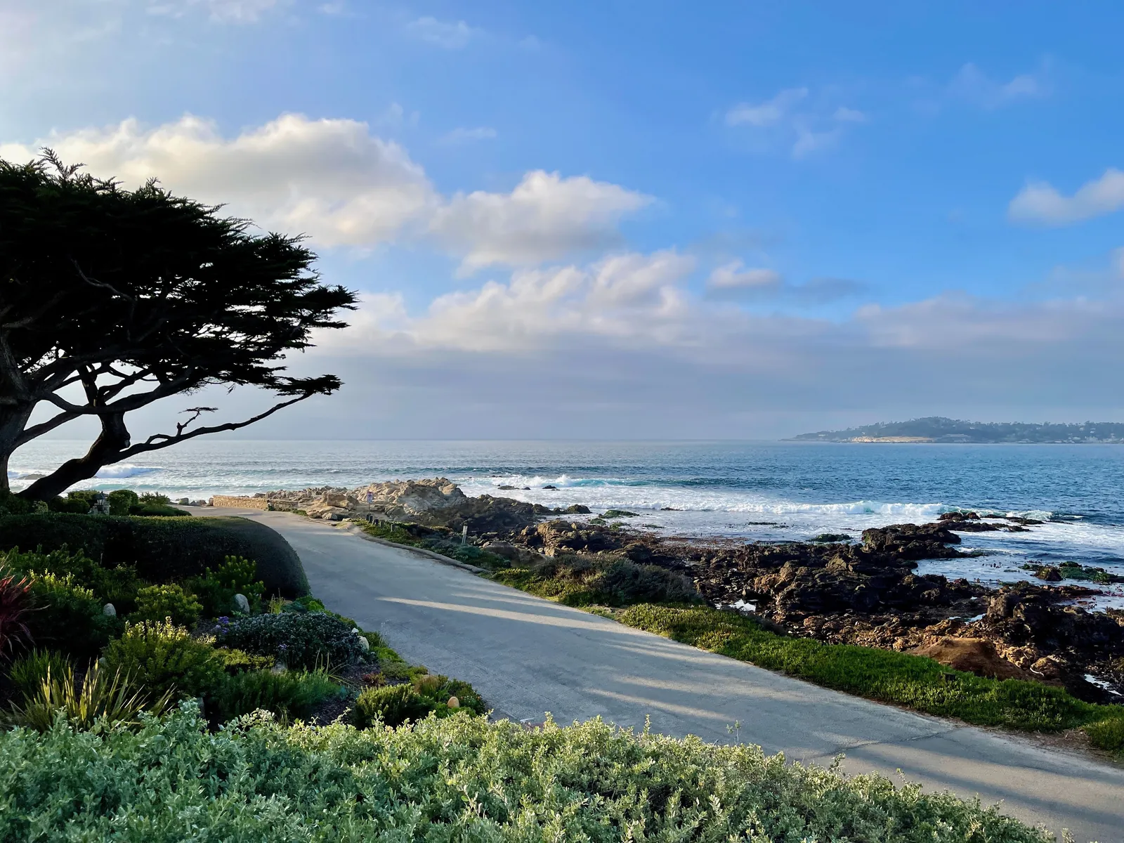
The ocean off Carmel turns hazardous starting Thursday. In a coastal hazard message timed 2:05 a.m. on Thursday, the National Weather Service office in San Francisco kept a beach hazards statement and a coastal flood advisory in effect for the Southern Monterey Bay and Big Sur Coast, the forecast zone that covers the shoreline at Carmel Beach, Carmel Point and Pebble Beach.
The beach hazards statement runs from 5 a.m. on Thursday through Monday evening. The weather service expects breaking waves of 12 to 16 feet, driven by a long period northwesterly swell, with an increased risk of sneaker waves and strong rip currents at beaches in the zone.
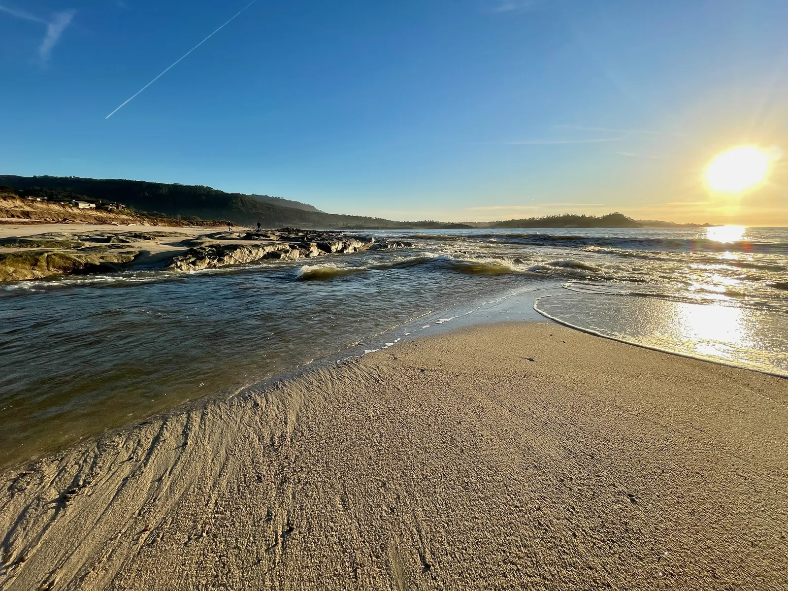
Sneaker waves are the sharper danger in that mix. The weather service warns that waves can sweep across the shoreline without warning and pull people into the sea from beaches, jetties and rocks. Its guidance for the hazard window is to stay off jetties, piers, rocks and other waterside structures, to remain out of the water, and to never turn your back on the ocean.
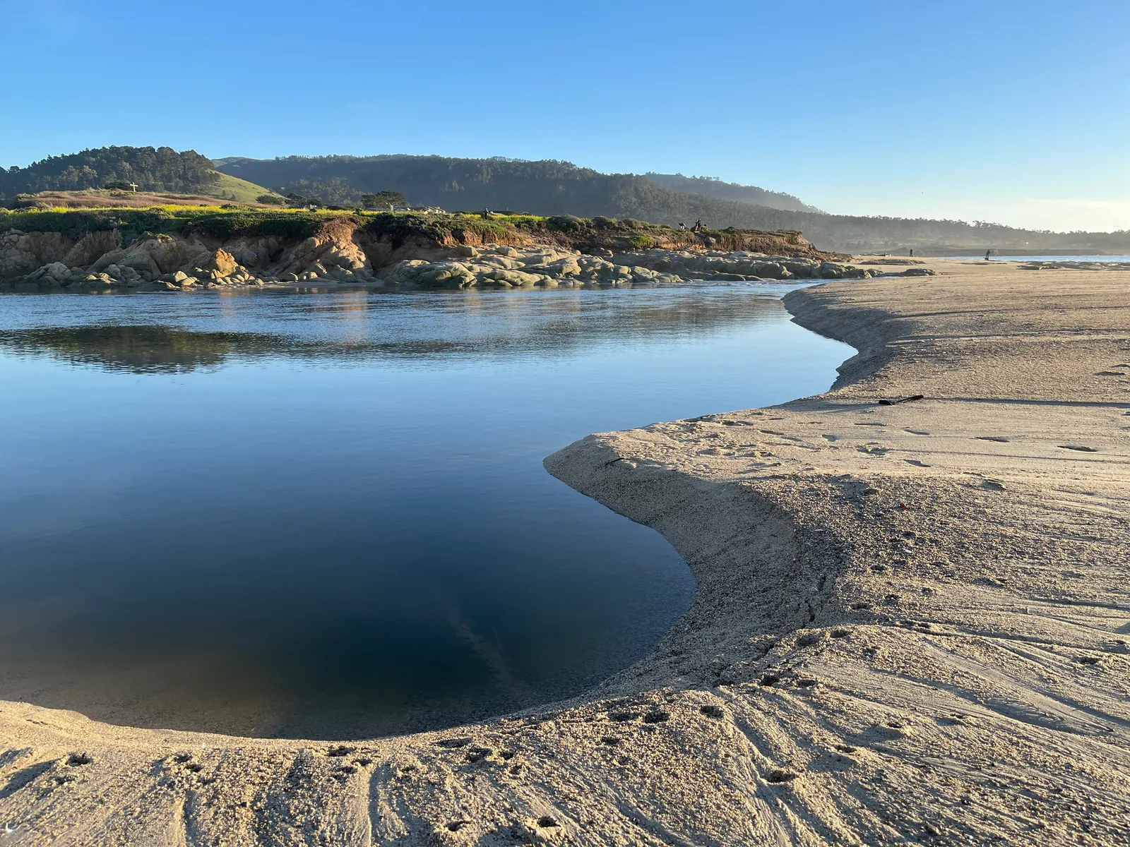
The coastal flood advisory runs longer, until 4 p.m. on Friday, November 13. At the highest tides, seawater could stand as much as 1.6 feet deep over low ground along the shoreline and beside tidal waterways. The weather service expects that water to flood low-lying infrastructure, close a few roads and add to coastal erosion.
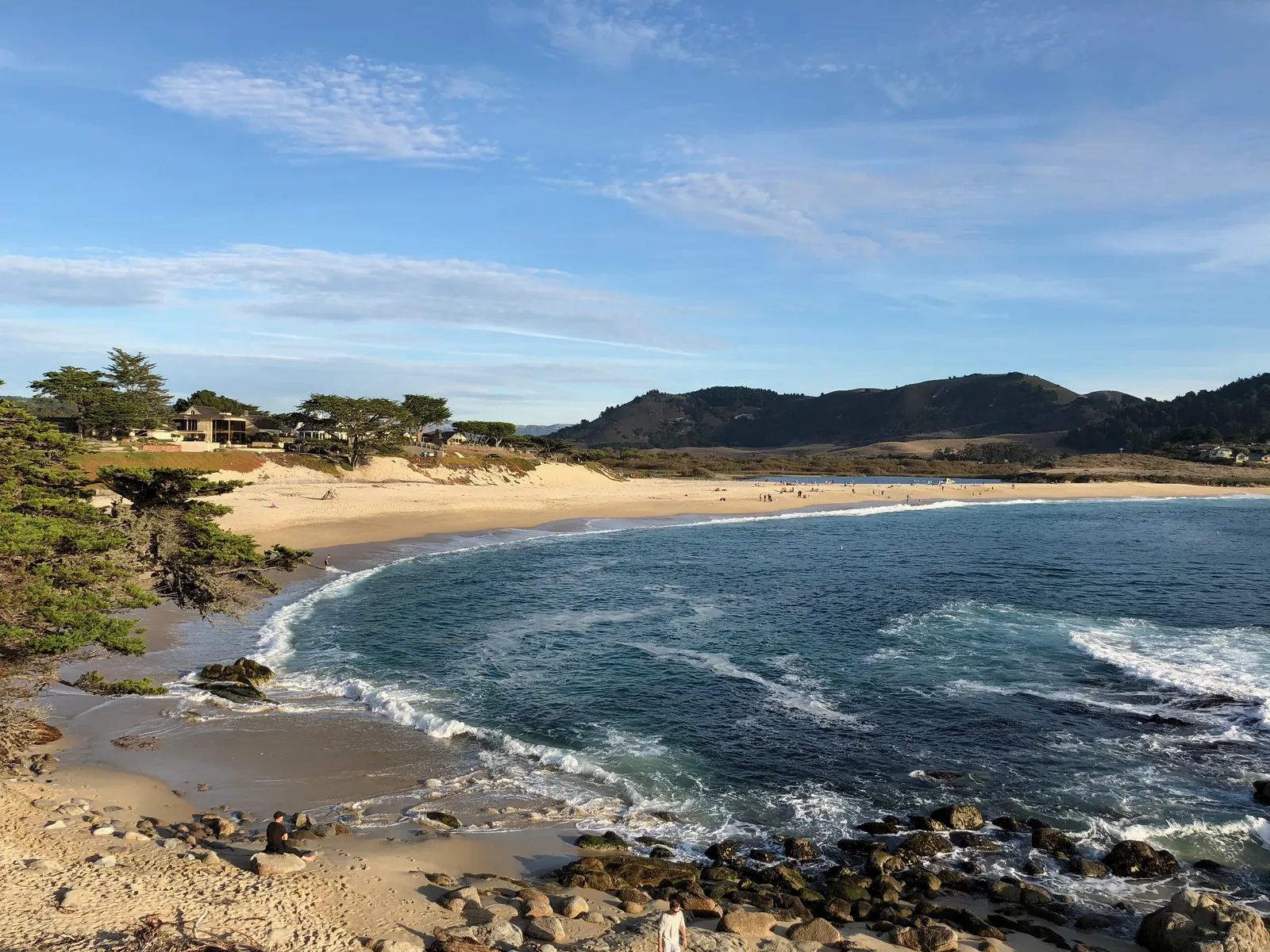
The morning high tides at the Monterey tide station, the nearest NOAA station to Carmel, climb through the weekend in the published predictions: 5.4 feet at 7:31 a.m. on Thursday, 5.7 feet at 8:00 a.m. on Friday and 5.8 feet at 8:28 a.m. on Saturday. As the tides build, the weather service expects each high tide to carry water and surf higher onto the beach than usual, shrinking the strip of dry sand that beachgoers usually count on as an escape route.
Both alerts are statements about surf and tides, not about a coming storm, and no rain is needed for either hazard. The weather service advises anyone heading for the coast to check the latest forecasts from its Monterey Bay area office before going. The beach hazards statement expires Monday evening; the flood advisory is scheduled to end on Friday afternoon, November 13.
We correct errors promptly and note them here. Send corrections through the contact form on our contact page.